Fort Vrmac
Map
Map

Facts and practical information
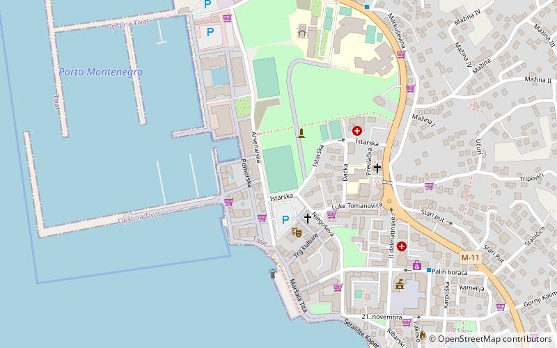
Fort Vrmac is a former fortification of the Austro-Hungarian Empire located on the southern end of the Vrmac ridge near Tivat in Montenegro. Established in 1860, the present structure was built between 1894 and 1897, and saw action during the First World War, when it was heavily bombarded by the Montenegrins. It was repaired and disarmed before the end of the war and was abandoned after a period of occupation by Yugoslav troops. Today it is one of the best preserved Austro-Hungarian fortifications in the Bay of Kotor area. ()
Coordinates: 42°27'15"N, 18°38'20"E
Location
Herceg Novi
ContactAdd
Social media
Add
Day trips
Fort Vrmac – popular in the area (distance from the attraction)
Nearby attractions include: Kanli Kula, Savina Monastery, Zalo, Ponta Seljanovo.

