Aguelmame Sidi Ali lake, Khenifra National Park
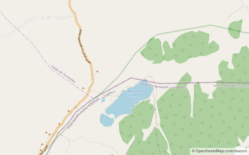
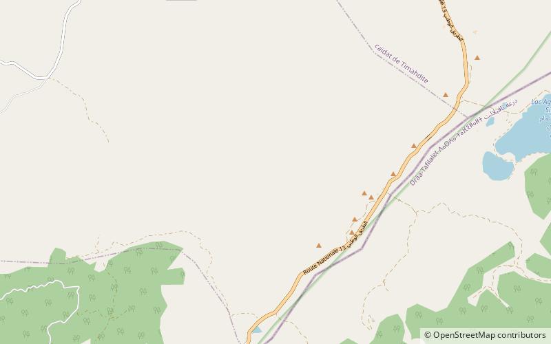
Map

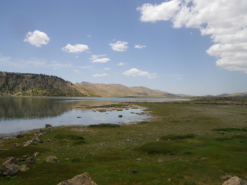
Gallery

Facts and practical information
Aguelmame Sidi Ali is a lake in Khénifra Province, Béni Mellal-Khénifra, Morocco. Located at an altitude of 2,080 metres, Aguelmame Sidi Ali has a surface area of approximately 500 hectares and a depth of 36 m. It is near the boundary of the province of Ifrane within the Middle Atlas mountains. It is part of Khenifra National Park, a 842 km2 protected area created in 2008. ()
Local name: بحيرة أكلمام سيدي علي Area: 1.93 mi²Maximum depth: 118 ftElevation: 3904 ft a.s.l.Coordinates: 33°4'60"N, 5°0'0"W
Address
Khenifra National Park
ContactAdd
Social media
Add
Day trips
Aguelmame Sidi Ali lake – popular in the area (distance from the attraction)
Nearby attractions include: Jbel Tamarrakoit.

