Smir Dam
Map

Map

Facts and practical information
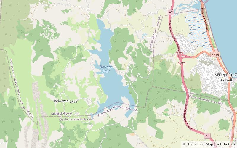
Smir Dam is an earth-filled embankment dam in northern Morocco, to the southeast of Nakhla Dam and 5 km west of M'diq. It is at the confluence of the Smir and El-lile wadis and has a 17 m saddle dam adjacent to the main dam. The primary purpose of the dam is water supply to the city of Tetouan, 12 km to the south. The dam was completed in 1991. The reservoir impounded by the dam has been designated as part of a Ramsar site since 2019. ()
Opened: 1991 (35 years ago)Length: 1969 ftHeight: 148 ftCoordinates: 35°41'6"N, 5°23'7"W
Location
Tanger - Tétouan
ContactAdd
Social media
Add
Day trips
Smir Dam – popular in the area (distance from the attraction)
Nearby attractions include: Cabo Negro, Jebel Zem-Zem, M'diq.


