Tazekka National Park
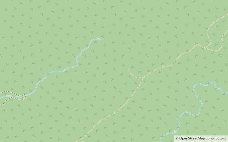
Map

Map

Facts and practical information
Tazekka National Park is a national park of Morocco. It was created in 1950 with an initial area of 6.8 km² to protect the natural resources around Jbel Tazekka, particularly the grove of cedars, which are isolated on this peak in the Middle Atlas range. ()
Local name: منتزه تازكة Established: 1950 (76 years ago)Area: 53.04 mi²Elevation: 3740 ft a.s.l.Coordinates: 34°2'7"N, 4°10'60"W
Location
Taza - Al Hoceima - Taounate
ContactAdd
Social media
Add
Best Ways to Experience the Park
Wildlife
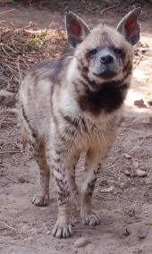
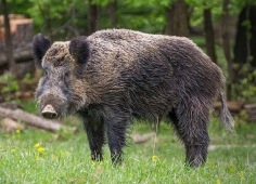
AnimalsSee what popular animal species you can meet in this location.
More
Show more


