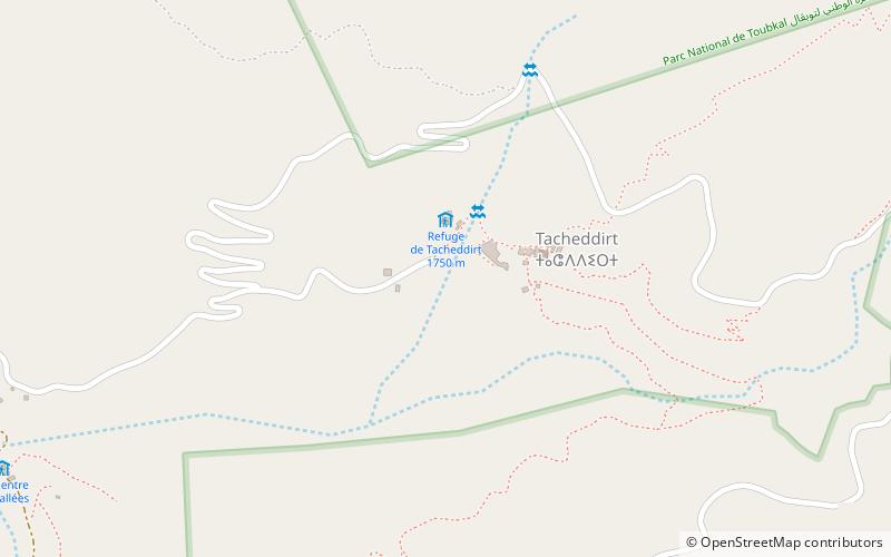
Tacheddirt

Gallery (1)
Map
Map
Facts and practical information
Tizi N'Tacheddirt is a small village high up in the Atlas Mountains of Morocco. It is the highest settlement in the Rhirhaia valley, about 4 km further up from Ikkiss. ()
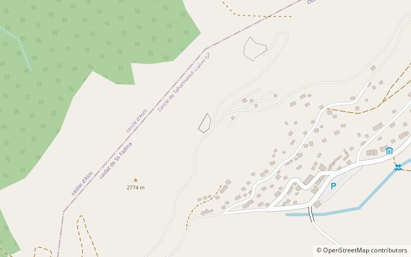
Location
Marrakech - Tensift - Al Haouz
ContactAdd
Social media
Add
Day trips
Tacheddirt – popular in the area (distance from the attraction)
Nearby attractions include: Oukaïmeden Observatory.