Fes Jdid, Fez
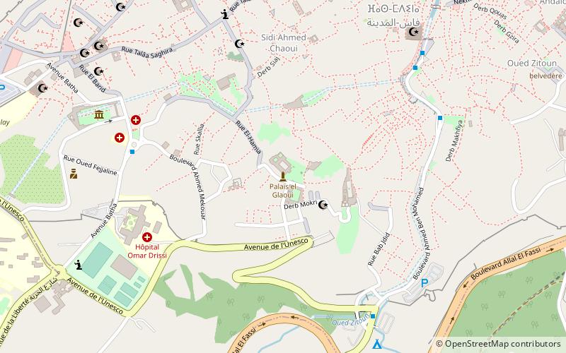
Map
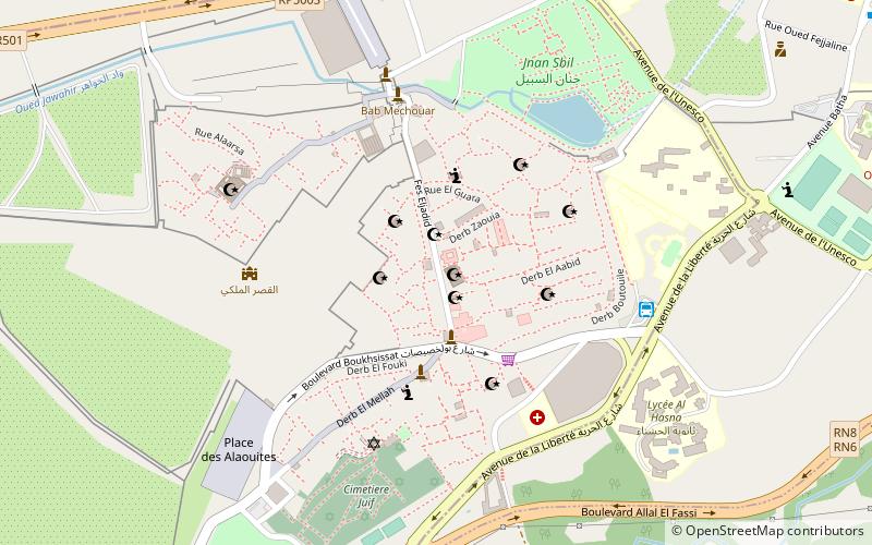
Map

Facts and practical information
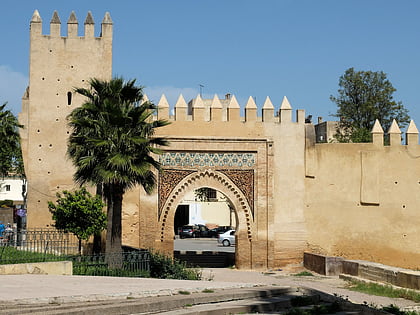
Fes Jdid or Fes el-Jdid is one of the three parts of Fez, Morocco. It was founded by the Marinids in 1276 as an extension of Fes el Bali and as a royal citadel and capital. It is occupied in large part by the historic Royal Palace, which was once the center of government in Morocco and which is still used on occasion by the King of Morocco today. The district also contains the historic Mellah of the city. Since 1981 it has been classified, along with Fes el-Bali, as a UNESCO World Heritage Site. ()
Local name: فاس الجديدUnesco: from 1981Area: 148.26 acres (0.2317 mi²)Coordinates: 34°3'19"N, 4°59'25"W
Address
Fez
ContactAdd
Social media
Add
Day trips
Fes Jdid – popular in the area (distance from the attraction)
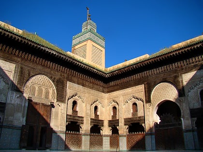
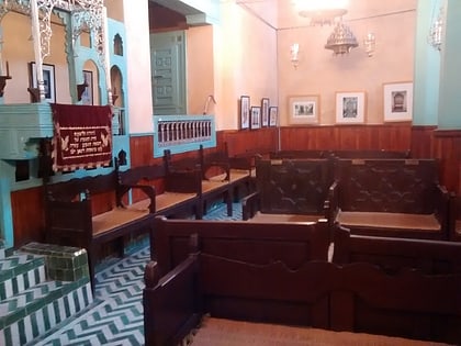
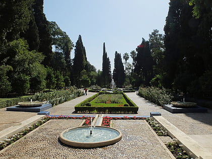
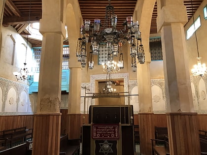
Nearby attractions include: Bou Inania Madrasa, Ibn Danan Synagogue, Jnan Sbil Gardens, Al Fassiyine Synagogue.
Frequently Asked Questions (FAQ)
Which popular attractions are close to Fes Jdid?
Nearby attractions include Al-Hamra Mosque, Fez (2 min walk), Al-Beida Mosque, Fez (2 min walk), Lalla ez-Zhar Mosque, Fez (2 min walk), Bab Semmarine, Fez (2 min walk).
How to get to Fes Jdid by public transport?
The nearest stations to Fes Jdid:
Bus
Train
Bus
- Fes Bab Jiaf (6 min walk)
- Gare Routière (18 min walk)
Train
- Fès-Ville فاس-مدينة (26 min walk)

