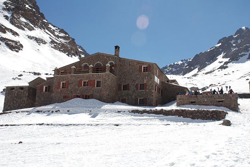
Refuge des Mouflons, Toubkal National Park

Gallery (3)
Map
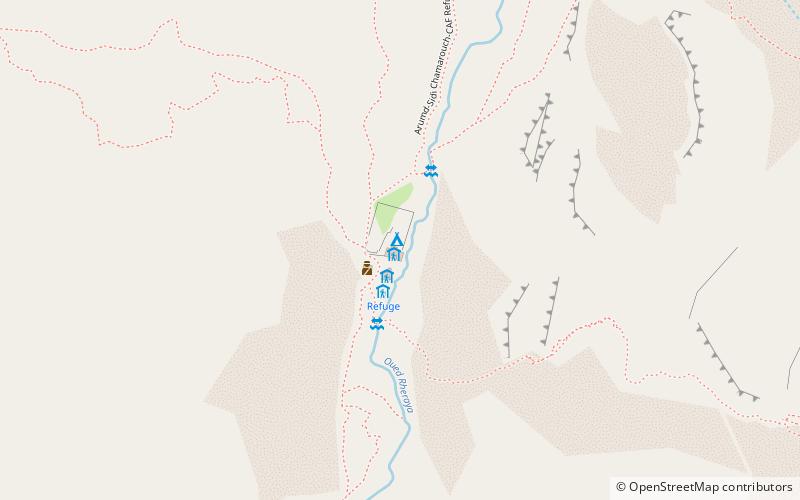
Map
Gallery
Facts and practical information
Refuge des Mouflons is a place located in Toubkal National Park (Marrakech - Tensift - Al Haouz region) and belongs to the category of hiking, alpine hut.
It is situated at an altitude of 10318 feet, and its geographical coordinates are 31°3'50"N latitude and 7°56'14"W longitude.
Among other places and attractions worth visiting in the area are: Atlas Mountains (natural attraction, 33 min walk), Toubkal (natural attraction, 35 min walk), Toubkal, Imlil (mountain, 35 min walk).
Coordinates: 31°3'50"N, 7°56'14"W
Address
Toubkal National Park
ContactAdd
Social media
Add
Day trips