Mount Gourougou

Gallery (1)
Map
Map
Facts and practical information
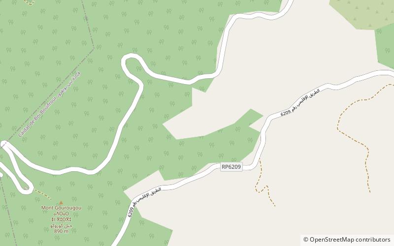
Mount Gourougou is a mountain in the Rif, Morocco. It is located near the lagoon of Nador. It culminates at 900 m of altitude.
The landscape is of great quality and offers, on all the sides of the mountain, rare forms of relief. This makes it a remarkable recreational area for local, national and foreign visitors. It is also a land capital able to generate significant revenue and create jobs.
Coordinates: 35°13'25"N, 2°59'29"W
Location
Oriental
ContactAdd
Social media
Add
Day trips
Mount Gourougou – popular in the area (distance from the attraction)
Nearby attractions include: Nador.
