Essaouira Citadel, Essaouira
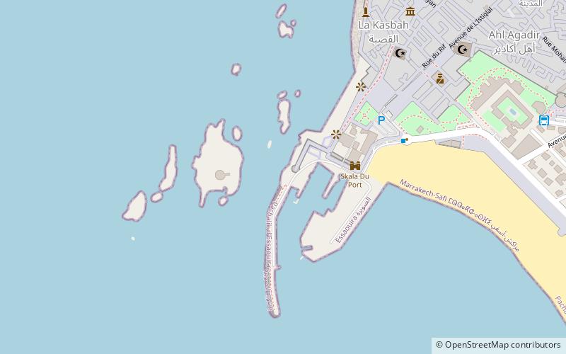
Map
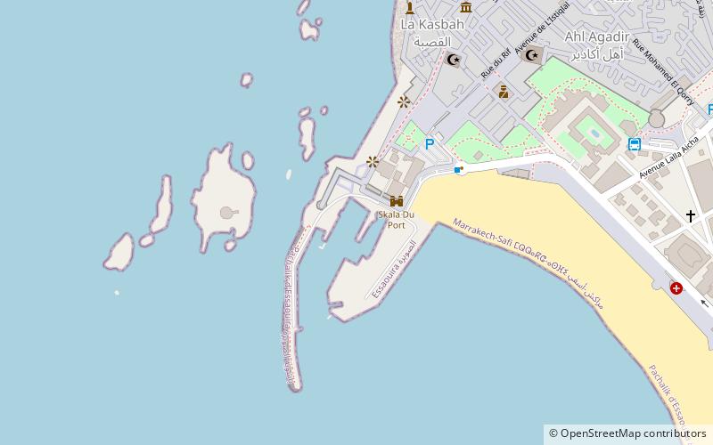
Map

Facts and practical information
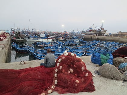
The port of Essaouira is an important traditional and historical fishing port of the 18th century, in Essaouira, on the Atlantic Ocean, in Morocco. It is one of the 14 main fishing ports in Morocco and is one of the most popular tourist destinations in Morocco, with its beaches and the nearby walled Medina of Essaouira on the ocean, a UNESCO World Heritage Site.
Coordinates: 31°30'33"N, 9°46'26"W
Address
Essaouira
ContactAdd
Social media
Add
Day trips
Essaouira Citadel – popular in the area (distance from the attraction)
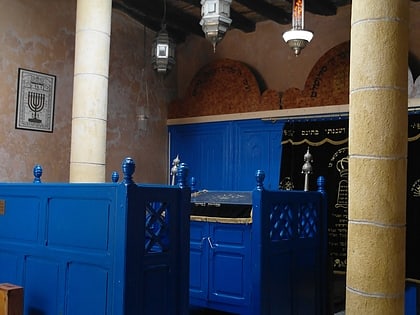
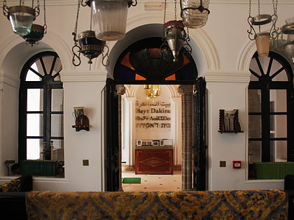
Nearby attractions include: Slat Lkahal Synagogue, Portuguese forts, Chaim Pinto Synagogue, Simon Attias Synagogue.
Frequently Asked Questions (FAQ)
Which popular attractions are close to Essaouira Citadel?
Nearby attractions include Portuguese forts, Essaouira (2 min walk), Galeries Frederic Damgaard, Essaouira (7 min walk), Simon Attias Synagogue, Essaouira (9 min walk), Sidi Mohammed ben Abdallah Museum, Essaouira (9 min walk).
How to get to Essaouira Citadel by public transport?
The nearest stations to Essaouira Citadel:
Bus
Bus
- Gare Supratours (11 min walk)
- Lima Bus 1 2 (18 min walk)
