Sbata, Casablanca
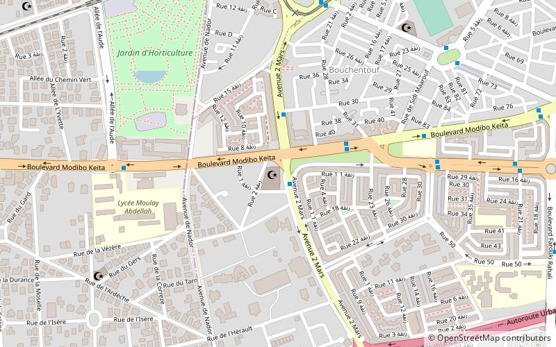
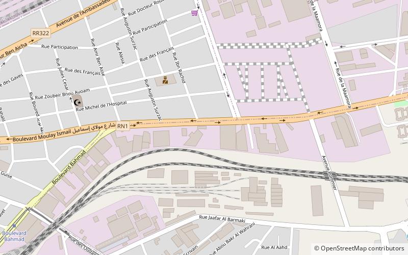
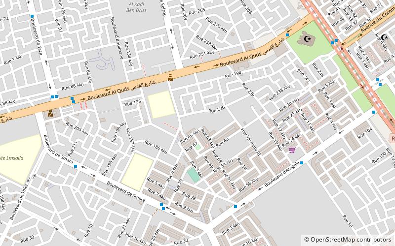
Map
Facts and practical information
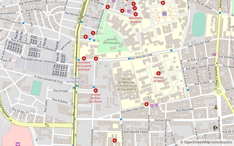
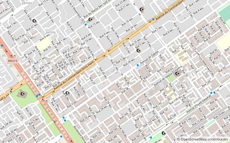
Sbata is an arrondissement of Casablanca, in the Ben M'Sick district of the Casablanca-Settat region of Morocco. As of 2004 it had 122,827 inhabitants. ()
Address
منطقة الدار البيضاء (سباتة)Casablanca
ContactAdd
Social media
Add
Day trips
Sbata – popular in the area (distance from the attraction)
Nearby attractions include: Notre-Dame de Lourdes Church, Cinema Rialto, Dar ul-Aala, Assunna Mosque.
Frequently Asked Questions (FAQ)
Which popular attractions are close to Sbata?
Nearby attractions include Aïn Chock, Casablanca (19 min walk), Lamkansa, Casablanca (20 min walk).
How to get to Sbata by public transport?
The nearest stations to Sbata:
Bus
Bus
- Bloc Cité Djemaa • Lines: 28 (7 min walk)
- Station Total • Lines: 107, 11, 143 (8 min walk)
