Walls of Marrakesh, Marrakech
Map
Gallery
Facts and practical information
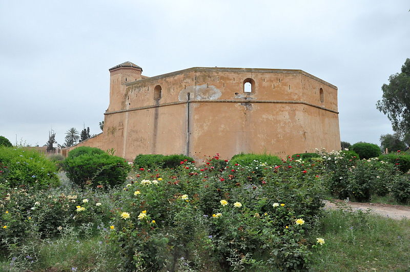
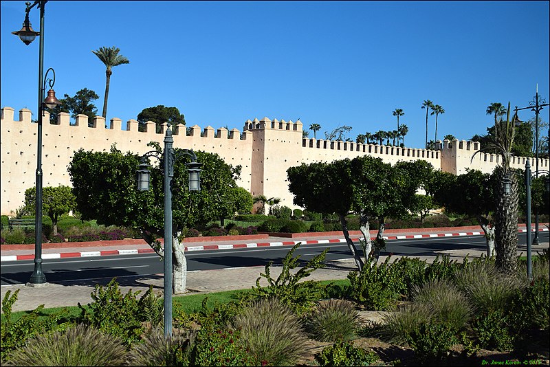
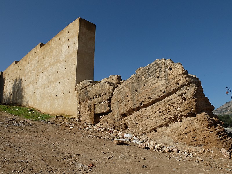
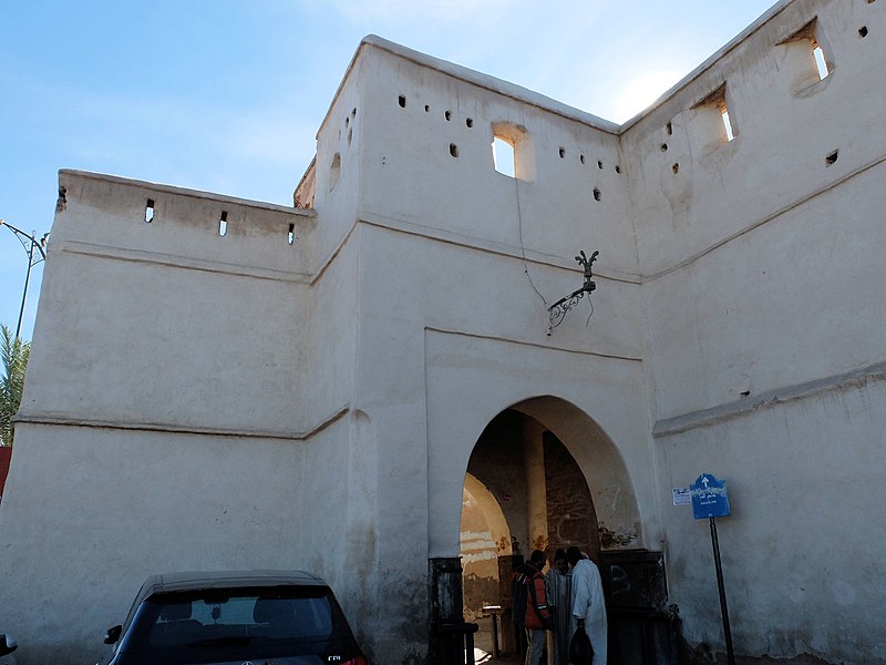
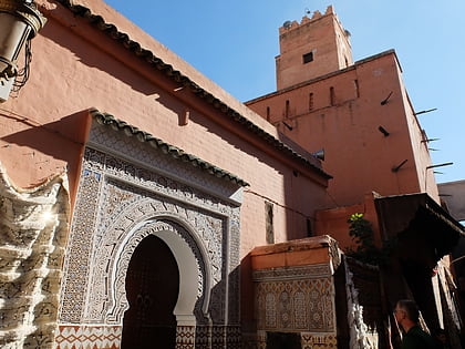
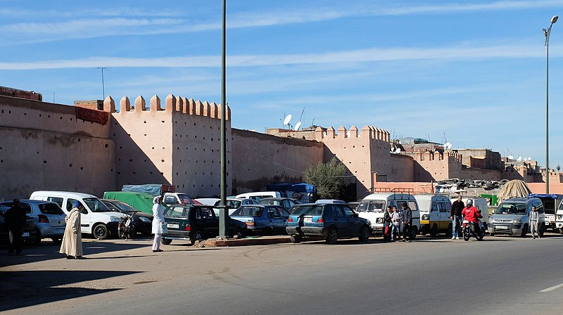
The Walls of Marrakesh are a set of defensive ramparts which enclose the historic medina districts of Marrakesh, Morocco. They were first laid out in the early 12th century by the Almoravid dynasty which founded the city in 1070 CE as their new capital. The walls have since been expanded several times by the addition of the Kasbah to the south at the end of the 12th century and by the later extension of the walls to encompass the neighbourhood around the Zawiya of Sidi Bel Abbes. ()
Address
Marrakech
ContactAdd
Social media
Add
Day trips
Walls of Marrakesh – popular in the area (distance from the attraction)
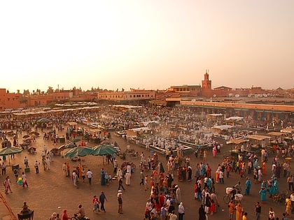
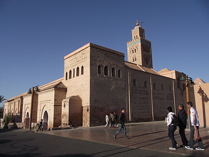
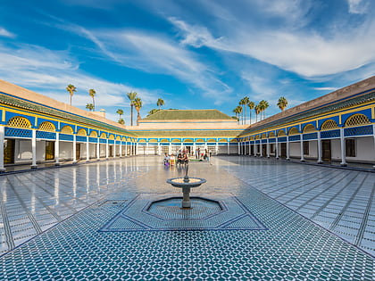
Nearby attractions include: Jemaa el-Fnaa, Kutubiyya Mosque, Dar Moulay Ali, Bahia Palace.
Frequently Asked Questions (FAQ)
Which popular attractions are close to Walls of Marrakesh?
Nearby attractions include Zawiya of Sidi Abd el-Aziz, Marrakech (1 min walk), Mouassine Mosque, Marrakech (4 min walk), Almoravid Qubba, Marrakech (4 min walk), Ben Youssef Mosque, Marrakech (4 min walk).
How to get to Walls of Marrakesh by public transport?
The nearest stations to Walls of Marrakesh:
Bus
Bus
- Riad Laarous • Lines: 2 (5 min walk)
- Bab Taghzout • Lines: 2 (9 min walk)


