Mozambique Island Bridge

Gallery (1)
Map
Map
Facts and practical information
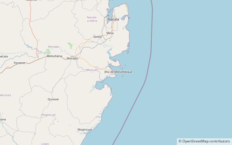
Mozambique Island Bridge is a bridge in Mozambique that connects the Island of Mozambique, the former capital of colonial Portuguese East Africa to the mainland over the Indian Ocean. ()
Completed: 1969 (57 years ago)Length: 2.36 miCoordinates: 15°2'40"S, 40°42'33"E
Location
Nampula
ContactAdd
Social media
Add
Day trips