Lake Amaramba
Map
Facts and practical information
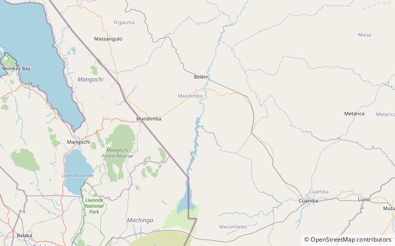
Lake Amaramba is a shallow lake in Mozambique, near the border with Malawi. Located in the Nyasa plateau, it is north of Lake Chiuta. The lakes are separated by a sandy ridge and a channel links the two lakes. On the western side of the channel, the connecting waterway is known as the River Msambiti while on the eastern side, it is known as the Lugenda River. Lake Amaramba is intermittently linked to the Lugenda River, a tributary of the Ruvuma River. ()
Local name: Lago Amaramba Area: 3223.95 mi²Length: 21.9 miWidth: 3937 ftMaximum depth: 16 ftElevation: 2060 ft a.s.l.Coordinates: 14°22'39"S, 35°55'19"E
Location
Nassa
ContactAdd
Social media
Add