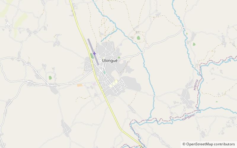
Angónia District, Vila Ulongwe

Map
Facts and practical information
Angónia District is a district in the northern part of Tete Province in the central region of Mozambique. Its administrative center is the town of Ulongué. The district is located in the northwest of the province, and borders with Dedza District of Malawi in the north, Ntcheu District of Malawi in the east, Tsangano District in the south, and with Macanga District in the west. The area of the district is 3,277 square kilometres. It has a population of 335,808 as of 2007. ()
Address
Vila Ulongwe
ContactAdd
Social media
Add