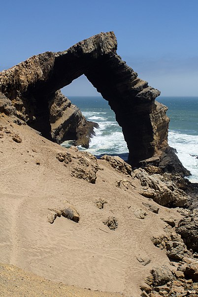
Bogenfels, Tsau ǁKhaeb National Park

Gallery (2)
Map
Map
Gallery
Facts and practical information
Bogenfels is a location in the coastal Namib Desert of Namibia, noted for its natural rock formations. The main formation is a 55-metre high rock arch close to the coast. It is not easily accessible, due to the terrain and its location within a restricted diamond-mining area Sperrgebiet, at 27° 28'S, about 95 kilometres south of Lüderitz and 32 kilometres south of Pomona but there are official guided tours. ()
Coordinates: 27°27'38"S, 15°23'31"E
Address
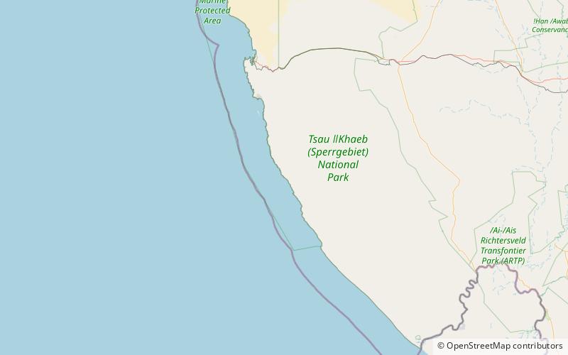
Tsau ǁKhaeb National Park
ContactAdd
Social media
Add