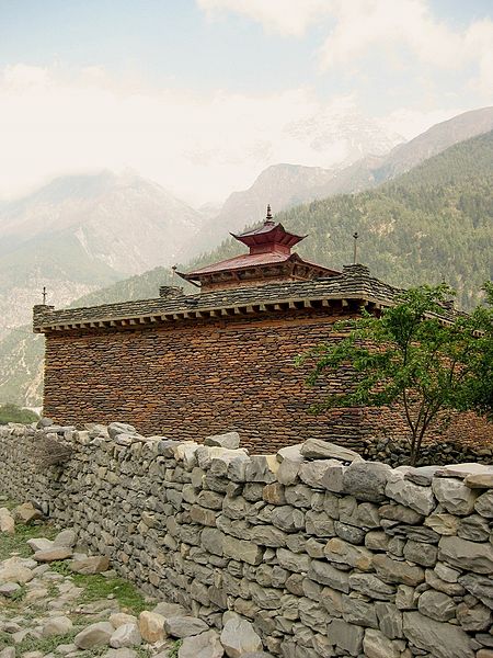
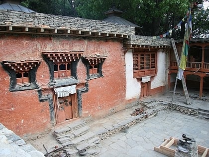
Sambha gompa, Annapurna Conservation Area
Map

Gallery

Facts and practical information
Kamtsang Dargye Choekhorling Monastery, known locally as Sambha (Samba, Sampa) gompa (goenpa), is situated in Mustang district, Tukuche Village development committee (VDC), in the Western Development Region, Nepal. It is about within Tukuche town on the Annapurna trekking route/ gravel road from Pokhara to Jomsom in the Dhaulagiri zone. In 2013 the local higher secondary school, Shree Yogendra HSS was being expanded, and the entrance to the gompa is within the school site; off the main Beni Jomson road, west of the Kali Gandaki river. ()
Coordinates: 28°42'40"N, 83°38'41"E
Address
Annapurna Conservation Area
ContactAdd
Social media
Add
Day trips
Sambha gompa – popular in the area (distance from the attraction)
Nearby attractions include: Chhairo gompa, Kali Gandaki Gorge, Nilgiri Himal, Jomsom.


