Dodhara Chandani Bridge, Shuklaphanta National Park

Gallery (1)
Map
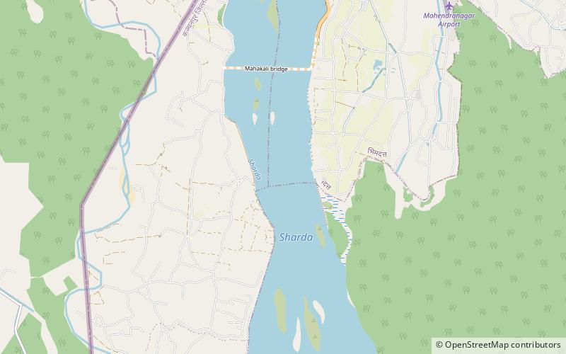
Map
Facts and practical information
The Dodhara Chandani Bridge, commonly known as Mahakali Bridge is a suspension bridge for pedestrians and at this point only about 1496.5 m long over Mahakali River in the far west of Nepal. ()
Local name: दोधारा चाँदनी पुल Opened: 2005 (21 years ago)Length: 4767 ftWidth: 5 ftCoordinates: 28°55'21"N, 80°6'27"E
Address
Shuklaphanta National Park
ContactAdd
Social media
Add