Zuidwellestraat, Zierikzee

Gallery (1)
Map
Map
Facts and practical information
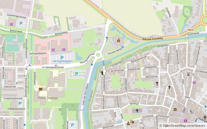
Zuidwellestraat is a place located in Zierikzee (Zeeland province) and belongs to the category of bridge.
It is situated at an altitude of 3 feet, and its geographical coordinates are 51°39'10"N latitude and 3°54'46"E longitude.
Planning a visit to this place, one can easily and conveniently get there by public transportation. Zuidwellestraat is a short distance from the following public transport stations: Gemeentehuis (bus, 3 min walk).
Among other places and attractions worth visiting in the area are: Sint-Lievensmonstertoren (tower, 5 min walk), Nieuwe kerk (church, 6 min walk), Burgerweeshuis (museum, 7 min walk).
Coordinates: 51°39'10"N, 3°54'46"E
Address
Zierikzee
ContactAdd
Social media
Add
Getting there by public transportation
Public transportation stops near this location
- Bus
 Bus
Bus
- Calculate routeGemeentehuis 3 min walk
- Calculate routeGrevelingenstraat 8 min walk
- Calculate routeScheldestraat 10 min walk
Day trips
Zuidwellestraat – popular in the area (distance from the attraction)
Nearby attractions include: Sint-Lievensmonstertoren, Zuidhavenpoort, Sint-Willibrorduskerk, Mill Den Haas.


Frequently Asked Questions (FAQ)
Which popular attractions are close to Zuidwellestraat?
Nearby attractions include Sint-Lievensmonstertoren, Zierikzee (5 min walk), Nieuwe kerk, Zierikzee (6 min walk), Burgerweeshuis, Zierikzee (7 min walk), Mill De Hoop, Zierikzee (8 min walk).
How to get to Zuidwellestraat by public transport?
The nearest stations to Zuidwellestraat:
Bus
Bus
- Gemeentehuis • Lines: 132, 628, 633 (3 min walk)
- Grevelingenstraat • Lines: 132, 628, 633 (8 min walk)