Lutherse Kerk, Zierikzee

Gallery (1)
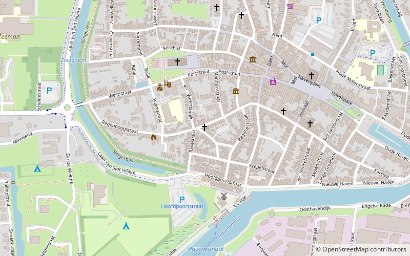
Map
Map
Facts and practical information
Lutherse Kerk is a place located in Zierikzee (Zeeland province) and belongs to the category of church.
It is situated at an altitude of 7 feet, and its geographical coordinates are 51°38'55"N latitude and 3°55'1"E longitude.
Planning a visit to this place, one can easily and conveniently get there by public transportation. Lutherse Kerk is a short distance from the following public transport stations: de Wieken (bus, 6 min walk).
Among other places and attractions worth visiting in the area are: Burgerweeshuis (museum, 3 min walk), Nieuwe kerk (church, 4 min walk), Mill Den Haas (windmill, 4 min walk).
Coordinates: 51°38'55"N, 3°55'1"E
Getting there by public transportation
Public transportation stops near this location
- Bus
 Bus
Bus
- Calculate routede Wieken 6 min walk
- Calculate routeGemeentehuis 11 min walk
- Calculate routeZierikzee Scheldestraat 12 min walk
Day trips
Lutherse Kerk – popular in the area (distance from the attraction)
Nearby attractions include: Sint-Lievensmonstertoren, Zuidhavenpoort, Sint-Willibrorduskerk, Mill Den Haas.


Frequently Asked Questions (FAQ)
Which popular attractions are close to Lutherse Kerk?
Nearby attractions include Burgerweeshuis, Zierikzee (3 min walk), Nieuwe kerk, Zierikzee (4 min walk), Mill Den Haas, Zierikzee (4 min walk), Sint-Lievensmonstertoren, Zierikzee (4 min walk).
How to get to Lutherse Kerk by public transport?
The nearest stations to Lutherse Kerk:
Bus
Bus
- de Wieken • Lines: 592 (6 min walk)
- Gemeentehuis • Lines: 132, 628, 633 (11 min walk)