Langepoort, Brielle
Map

Map

Facts and practical information
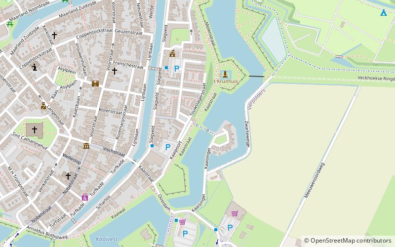
The Langepoort dating from about 1704 on the Westdam, is a city gate of fortified city Brielle in the Dutch province of South Holland. The gate is part of the national monument registration 26968 together with the rampart and the Kaaipoort on the south-east side of the city.
Coordinates: 51°54'10"N, 4°10'10"E
Address
Brielle
ContactAdd
Social media
Add
Day trips
Langepoort – popular in the area (distance from the attraction)
Nearby attractions include: Historisch Museum Den Briel, Grote of Sint-Catharijnekerk, Brielse Meer, 't Vliegend Hert.
Frequently Asked Questions (FAQ)
Which popular attractions are close to Langepoort?
Nearby attractions include Jacobskerk, Brielle (5 min walk), Van Bellen Art, Brielle (6 min walk), Historisch Museum Den Briel, Brielle (6 min walk), 't Vliegend Hert, Brielle (7 min walk).


