Neuhuyskade, The Hague
Map
Facts and practical information
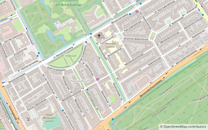
Neuhuyskade is a street along a canal in The Hague, Netherlands. It connects between the Wassenaarseweg at its north end to Benoordenhout at its south end. ()
Coordinates: 52°5'28"N, 4°19'16"E
Address
Benoordenhout (Nassaubuurt)The Hague
ContactAdd
Social media
Add
Day trips
Neuhuyskade – popular in the area (distance from the attraction)
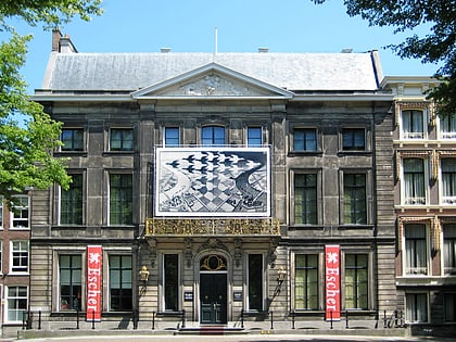
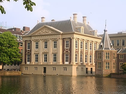
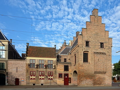
Nearby attractions include: Escher in Het Paleis, Mauritshuis, Galerij Prins Willem V, Malieveld.
Frequently Asked Questions (FAQ)
Which popular attractions are close to Neuhuyskade?
Nearby attractions include Malieveld, The Hague (10 min walk), Haagse Bos, The Hague (13 min walk), Museum Meermanno, The Hague (14 min walk), Surinamestraat 20, The Hague (15 min walk).
How to get to Neuhuyskade by public transport?
The nearest stations to Neuhuyskade:
Bus
Tram
Train
Metro
Bus
- Weissenbruchstraat • Lines: 20, 29 (6 min walk)
- Jozef Israelsplein • Lines: 29 (3 min walk)
Tram
- Doctor Kuyperstraat • Lines: 9 (10 min walk)
- Javabrug • Lines: 9 (10 min walk)
Train
- Den Haag Centraal (19 min walk)
Metro
- Den Haag Centraal • Lines: E (19 min walk)
