De Brak, Sluis
Map

Map

Facts and practical information
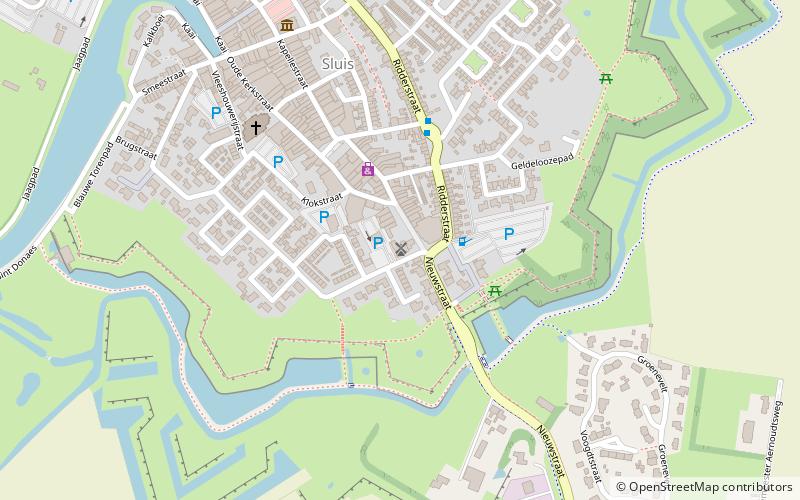
The Brak is a round stone post mill located in Sluis and set up as a corn mill.
Although the town of Sluis did have seven windmills in the 15th century, most of them have been demolished. The last two, both wooden stand windmills, in 1926 and 1937. Remaining is De Brak, named after a breed of dog, which was built in 1739 and is located on a 2.5 m high mill mound. It was the first stone mill in Sluis.
Coordinates: 51°18'21"N, 3°23'20"E
Address
Sluis
ContactAdd
Social media
Add
Day trips
De Brak – popular in the area (distance from the attraction)
Nearby attractions include: Saint Bavo Church, Belfort, Bizarium, Aardenburg.
Frequently Asked Questions (FAQ)
Which popular attractions are close to De Brak?
Nearby attractions include Belfort, Sluis (6 min walk), Bizarium, Sluis (10 min walk).


