Aardenburg

Gallery (1)
Map
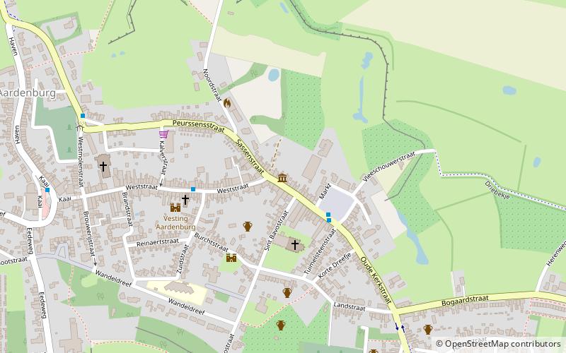
Map
Facts and practical information
Aardenburg is a place located in the Netherlands and belongs to the category of museum.
It is situated at an altitude of 10 feet, and its geographical coordinates are 51°16'27"N latitude and 3°26'53"E longitude.
Among other places and attractions worth visiting in the area are: Saint Bavo Church (church, 3 min walk), De BrakSluis (windmill, 86 min walk), BelfortSluis (history museum, 92 min walk).
Coordinates: 51°16'27"N, 3°26'53"E
Day trips


