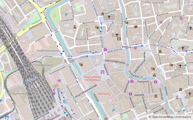
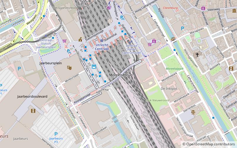
Vredenburg, Utrecht

Facts and practical information
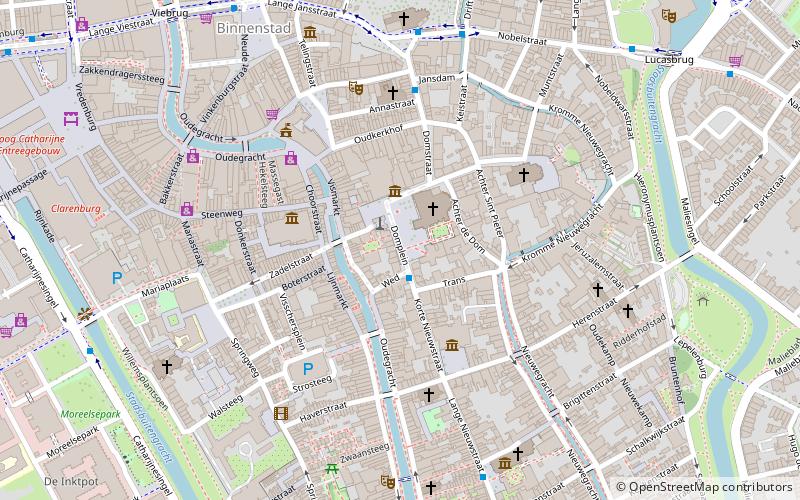
Vredenburg is a place located in Utrecht (Utrecht province) and belongs to the category of square.
It is situated at an altitude of 30 feet, and its geographical coordinates are 52°5'34"N latitude and 5°6'51"E longitude.
Planning a visit to this place, one can easily and conveniently get there by public transportation. Vredenburg is a short distance from the following public transport stations: Vredenburg (bus, 1 min walk), Centraal Station Centrumzijde B2 (tram, 7 min walk), Utrecht Centraal (train, 8 min walk).
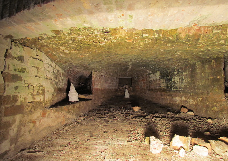
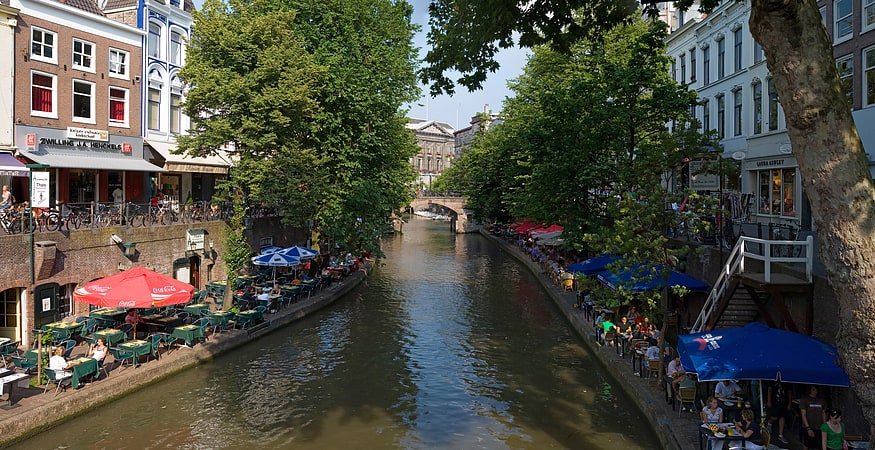
Among other places and attractions worth visiting in the area are: Vredenburg Castle (forts and castles, 2 min walk), TivoliVredenburg (nightlife, 2 min walk), Oudegracht (canal, 5 min walk).
Binnenstad (Hoog-Catharijne CS en Leidseveer)Utrecht
- Bus
- Tram
- Train
 Bus
Bus
- Calculate routeVredenburg 1 min walk
- Calculate routeSint Jacobsstraat 3 min walk
- Calculate routeDaalsesingel 4 min walk
- Calculate routeCentraal Station Centrumzijde B2 7 min walk
- Calculate routeCentraal Station Jaarbeursplein 11 min walk
- Calculate routeGraadt van Roggenweg 17 min walk
- Calculate routeUtrecht Centraal 8 min walk
- Calculate routeUtrecht Maliebaan 21 min walk
- Calculate routeUtrecht Vaartsche Rijn 26 min walk
- Calculate routeUtrecht Zuilen 33 min walk
Vredenburg – popular in the area (distance from the attraction)
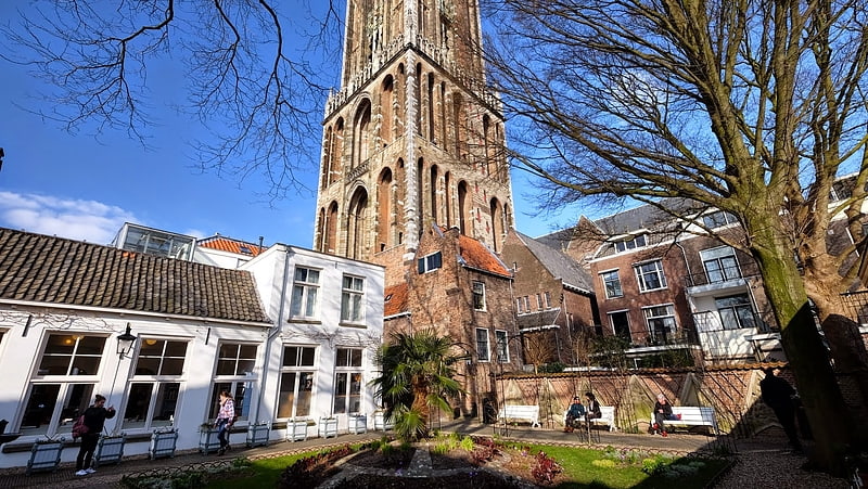
Nearby attractions include: St. Martin's Cathedral, Vredenburg Castle, Oudegracht, Domtoren.


Frequently Asked Questions (FAQ)
Which popular attractions are close to Vredenburg?
How to get to Vredenburg by public transport?
Bus
- Vredenburg • Lines: 2, 28, 4, 412, 428, 441, 447, 474, 495, 50, 55, 74, 8, N07, N20, N50, N8 (1 min walk)
- Sint Jacobsstraat • Lines: 1, 27, 3, 6, 7 (3 min walk)
Tram
- Centraal Station Centrumzijde B2 • Lines: 22 (7 min walk)
- Centraal Station Jaarbeursplein • Lines: 60, 61 (11 min walk)
Train
- Utrecht Centraal (8 min walk)
- Utrecht Maliebaan (21 min walk)