Church of Saint John, Rotterdam
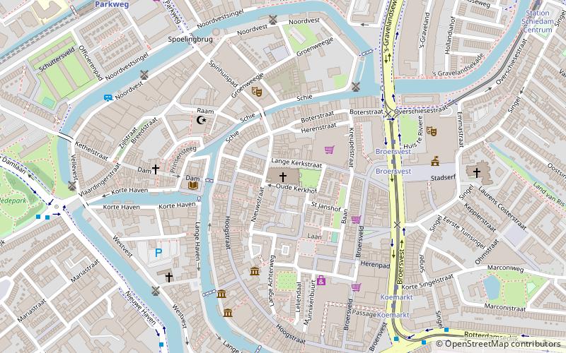
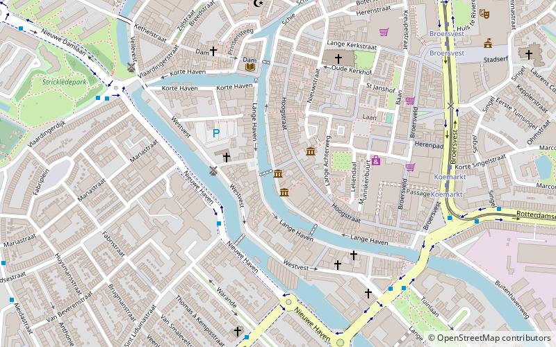
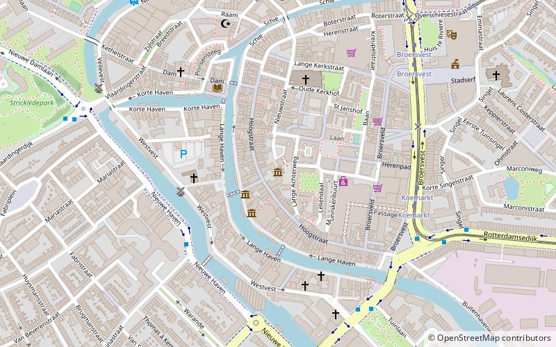
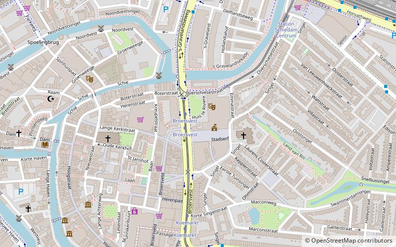
Map
Facts and practical information
Church of Saint John (address: Lange Kerkstraat 37) is a place located in Rotterdam (Zuid-Holland province) and belongs to the category of church.
It is situated at an altitude of 16 feet, and its geographical coordinates are 51°55'4"N latitude and 4°23'56"E longitude.
Planning a visit to this place, one can easily and conveniently get there by public transportation. Church of Saint John is a short distance from the following public transport stations: Broersvest (tram, 4 min walk), Broersvest (bus, 4 min walk), Parkweg (metro, 9 min walk).
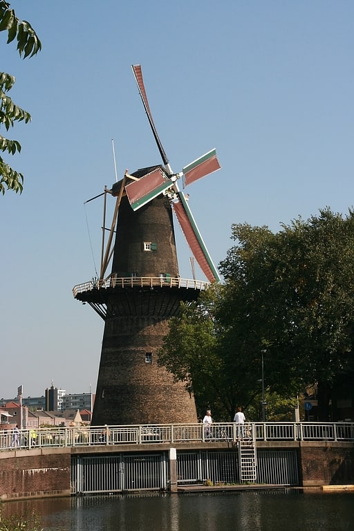
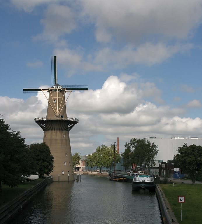
Among other places and attractions worth visiting in the area are: Schiedam (city, 2 min walk), Stedelijk Museum Schiedam (museum, 4 min walk), De Kameel (windmill, 4 min walk).
Coordinates: 51°55'4"N, 4°23'56"E
Getting there by public transportation
Public transportation stops near this location
- Metro
- Bus
- Tram
 Metro
Metro
- Calculate routeBroersvest 4 min walk
- Calculate routeKoemarkt 6 min walk
- Calculate routeStation Schiedam Centrum 10 min walk
- Calculate route's-Gravelandseweg 11 min walk
- Calculate routeBroersvest 4 min walk
- Calculate routeKoemarkt 7 min walk
- Calculate routeDelflandseweg 8 min walk
- Calculate routeOranjestraat 8 min walk
- Calculate routeParkweg 9 min walk
- Calculate routeSchiedam Centrum 14 min walk
- Calculate routeTroelstralaan 17 min walk
- Calculate routeSchiedam Nieuwland 20 min walk
Day trips


Frequently Asked Questions (FAQ)
Which popular attractions are close to Church of Saint John?
Nearby attractions include Schiedam (2 min walk), Stedelijk Museum Schiedam, Rotterdam (4 min walk), De Kameel, Rotterdam (4 min walk), Huis te Riviere, Rotterdam (5 min walk).
How to get to Church of Saint John by public transport?
The nearest stations to Church of Saint John:
Tram
Bus
Metro
Tram
- Broersvest • Lines: 21, 24 (4 min walk)
- Koemarkt • Lines: 21, 24 (6 min walk)
Bus
- Broersvest • Lines: 126, 51, 54, 826 (4 min walk)
- Koemarkt • Lines: 126, 51, 54, 826 (7 min walk)
Metro
- Parkweg • Lines: C (9 min walk)
- Schiedam Centrum • Lines: A, B, C (14 min walk)