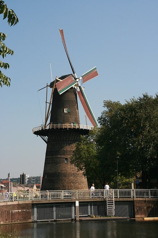
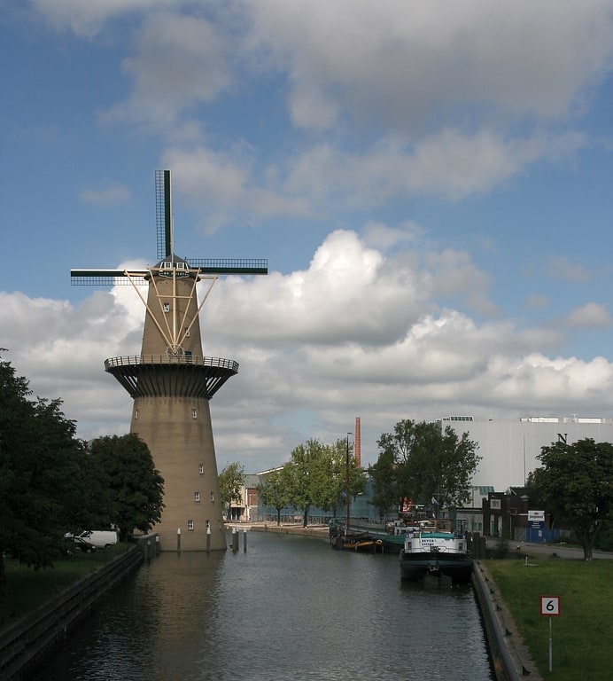
De Kameel, Rotterdam
Facts and practical information
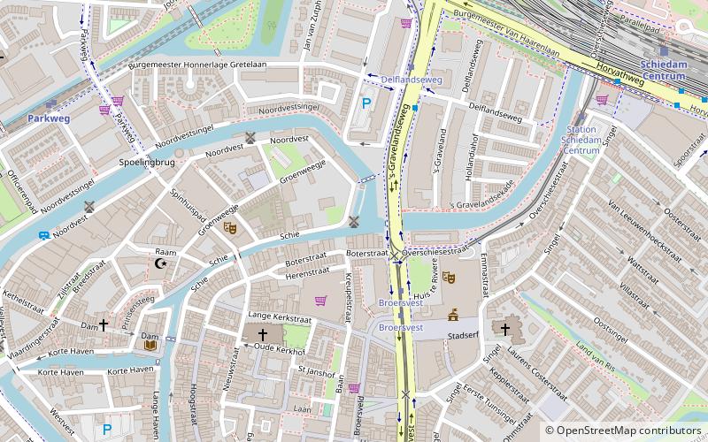
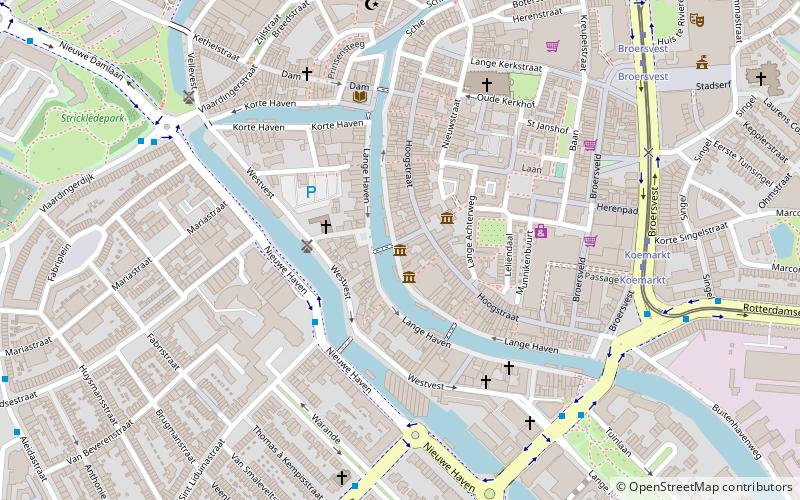
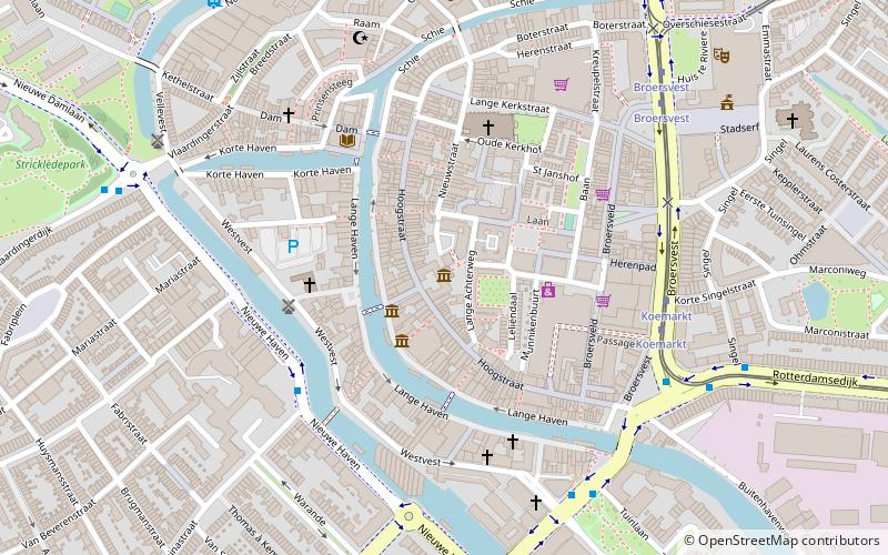
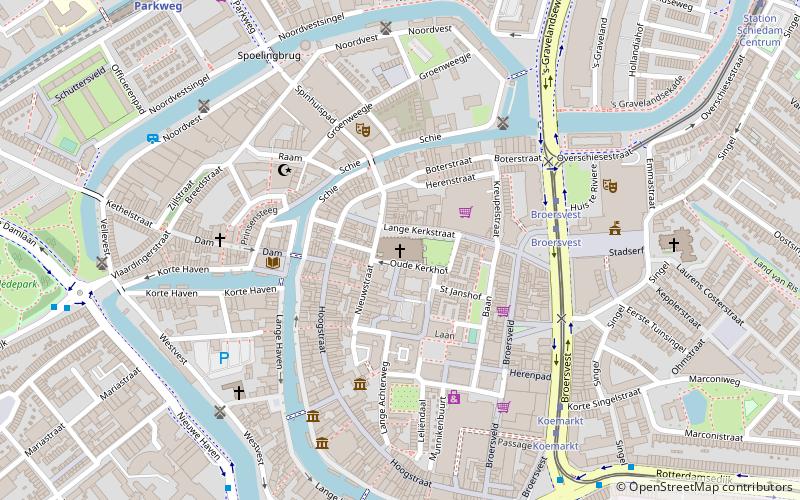
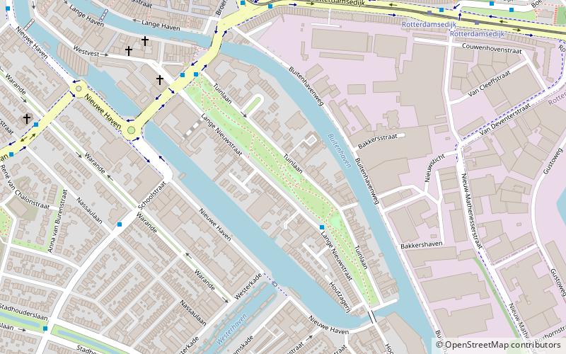
De Kameel is a place located in Rotterdam (Zuid-Holland province) and belongs to the category of windmill, historical place.
It is situated at an altitude of 3 feet, and its geographical coordinates are 51°55'10"N latitude and 4°24'4"E longitude.
Planning a visit to this place, one can easily and conveniently get there by public transportation. De Kameel is a short distance from the following public transport stations: Broersvest (tram, 3 min walk), Broersvest (bus, 3 min walk), Parkweg (metro, 9 min walk).
Among other places and attractions worth visiting in the area are: Huis te Riviere (ruins, 3 min walk), Museummolen De Nieuwe Palmboom (windmill, 4 min walk), Church of Saint John (church, 4 min walk).
Rotterdam
- Metro
- Bus
- Tram
 Metro
Metro
- Calculate routeBroersvest 3 min walk
- Calculate routeStation Schiedam Centrum 7 min walk
- Calculate route's-Gravelandseweg 7 min walk
- Calculate routeKoemarkt 8 min walk
- Calculate routeBroersvest 3 min walk
- Calculate routeDelflandseweg 4 min walk
- Calculate routeStation Schiedam Centrum 8 min walk
- Calculate routeKoemarkt 9 min walk
- Calculate routeParkweg 9 min walk
- Calculate routeSchiedam Centrum 10 min walk
- Calculate routeTroelstralaan 20 min walk
- Calculate routeSchiedam Nieuwland 21 min walk
De Kameel – popular in the area (distance from the attraction)
Nearby attractions include: De Noord, De Nolet, Winkelcentrum Spaland, Jenevermuseum Schiedam.


Frequently Asked Questions (FAQ)
Which popular attractions are close to De Kameel?
How to get to De Kameel by public transport?
Tram
- Broersvest • Lines: 21, 24 (3 min walk)
- Station Schiedam Centrum • Lines: 21, 24 (7 min walk)
Bus
- Broersvest • Lines: 126, 51, 54, 826 (3 min walk)
- Delflandseweg • Lines: 126, 51, 54, 826 (4 min walk)
Metro
- Parkweg • Lines: C (9 min walk)
- Schiedam Centrum • Lines: A, B, C (10 min walk)