Haagse Bos, The Hague
Map
Gallery
Facts and practical information
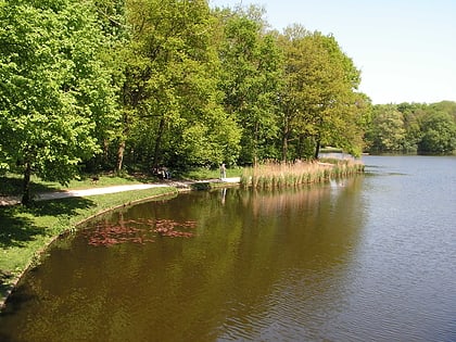
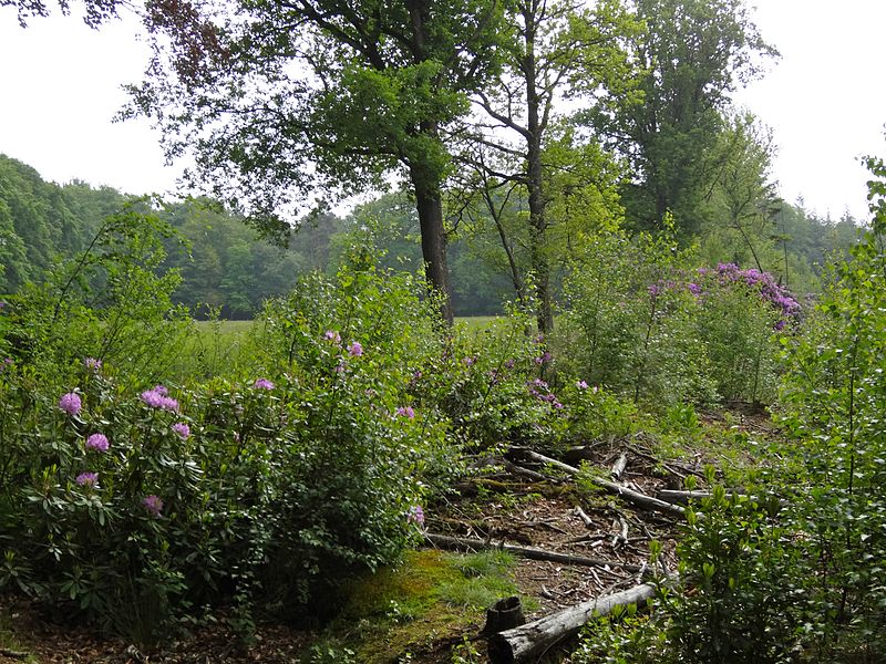
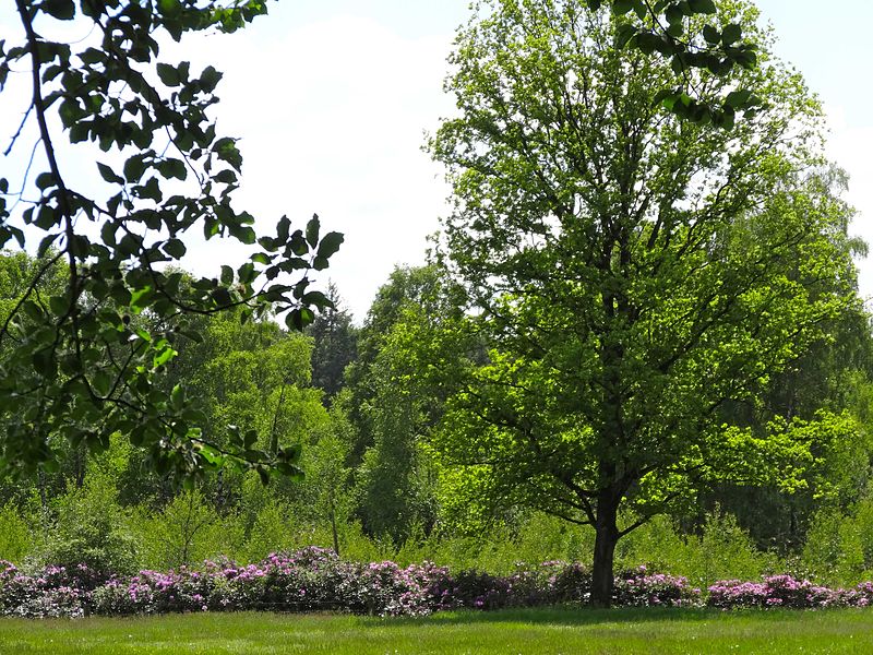
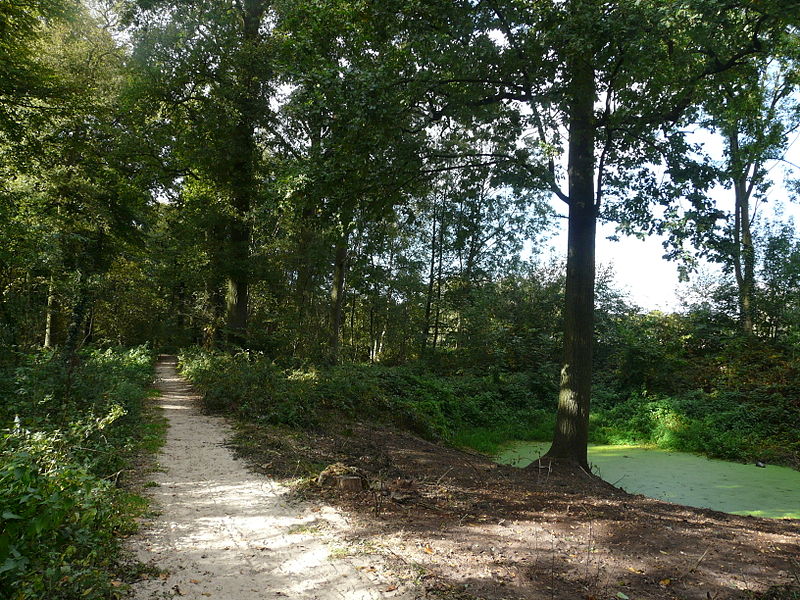
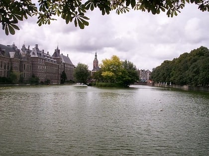
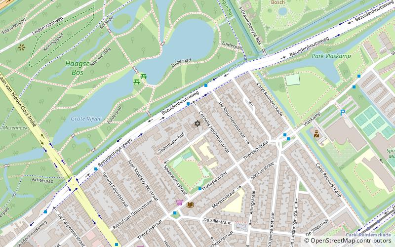
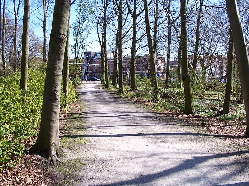
Haagse Bos is a rectangular neighbourhood and forest in the Haagse Hout district of The Hague, Netherlands, reaching from the old city centre in the south-west to the border of Wassenaar in the north-east. It is also one of the oldest remaining forests of the country. During World War II, the park was used by the Germans for launching V-1 and V-2 rockets. ()
Address
Haagse BosThe Hague
ContactAdd
Social media
Add
Day trips
Haagse Bos – popular in the area (distance from the attraction)
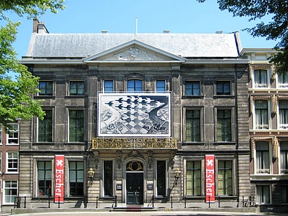
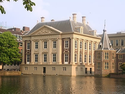
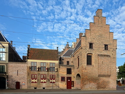
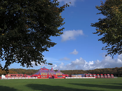
Nearby attractions include: Escher in Het Paleis, Mauritshuis, Galerij Prins Willem V, Malieveld.
Frequently Asked Questions (FAQ)
Which popular attractions are close to Haagse Bos?
Nearby attractions include Kinderboekenmuseum, The Hague (6 min walk), Netherlands Institute for Art History, The Hague (6 min walk), Malieveld, The Hague (8 min walk), Homomonument Den Haag Internationaal, The Hague (9 min walk).
How to get to Haagse Bos by public transport?
The nearest stations to Haagse Bos:
Bus
Tram
Metro
Train
Bus
- Boslaan • Lines: 43, 44 (3 min walk)
- Prins Clauslaan • Lines: 385, 43, 44, 685 (5 min walk)
Tram
- Centraal Station • Lines: 15, 16, 17, 2, 3, 34, 4, 6, 9 (8 min walk)
- Ternoot • Lines: 2, 6 (9 min walk)
Metro
- Den Haag Centraal • Lines: E (8 min walk)
Train
- Den Haag Centraal (8 min walk)
- Den Haag HS (28 min walk)
