Rokin, Amsterdam
Map
Gallery
Facts and practical information
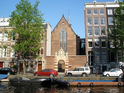
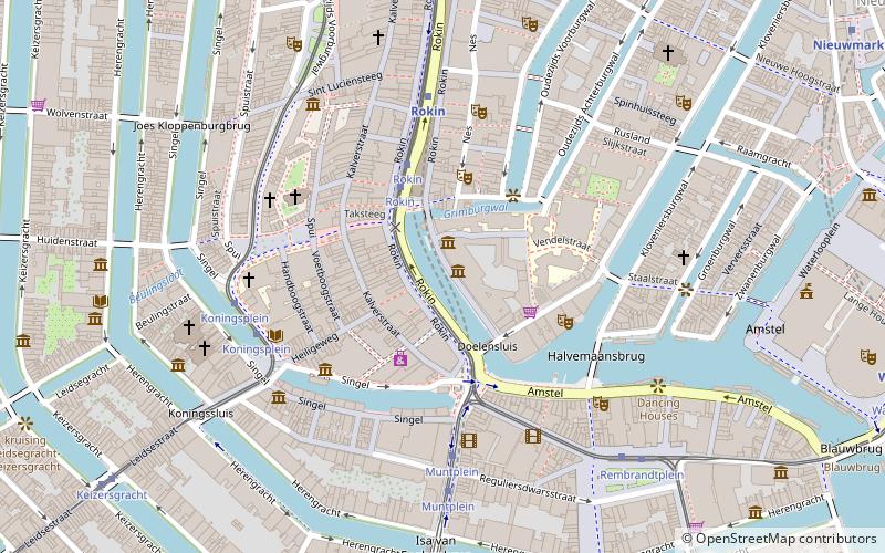
The Rokin is a canal and major street in the centre of Amsterdam. The street runs from Muntplein square to Dam square. The Rokin canal used to run from Muntplein square to Dam Square, but in 1936, the part between Spui square and Dam Square was filled in. Canal boats are now moored on the remaining part of the water, from the Amstel to Grimburgwal. ()
Address
Stadsdeel Centrum (De Wallen)Amsterdam
ContactAdd
Social media
Add
Day trips
Rokin – popular in the area (distance from the attraction)
Nearby attractions include: Heiligeweg, Bloemenmarkt, Kalvertoren, Munttoren.
Frequently Asked Questions (FAQ)
Which popular attractions are close to Rokin?
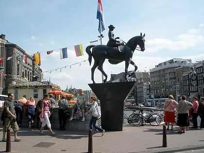
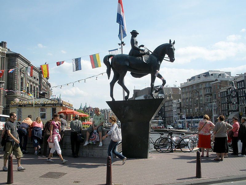
Nearby attractions include Allard Pierson Museum, Amsterdam (1 min walk), Arti et Amicitiae, Amsterdam (2 min walk), Grimburgwal, Amsterdam (2 min walk), Equestrian statue of Queen Wilhelmina, Amsterdam (2 min walk).
How to get to Rokin by public transport?
The nearest stations to Rokin:
Bus
Tram
Metro
Train
Ferry
Bus
- Rokin • Lines: N85, N87, N89, N91 (3 min walk)
- Rembrandtplein • Lines: N85, N87, N89, N91, N93 (6 min walk)
Tram
- Rokin • Lines: 14, 24, 4 (3 min walk)
- Muntplein • Lines: 24 (4 min walk)
Metro
- Rokin • Lines: 52 (4 min walk)
- Nieuwmarkt • Lines: 51, 53, 54 (11 min walk)
Train
- Amsterdam Central Station (21 min walk)
Ferry
- Centraal Station • Lines: F2 (23 min walk)
- IJplein • Lines: F2 (29 min walk)
 Metro / Trams

