Spijkenisserbrug, Spijkenisse
Map
Map

Facts and practical information
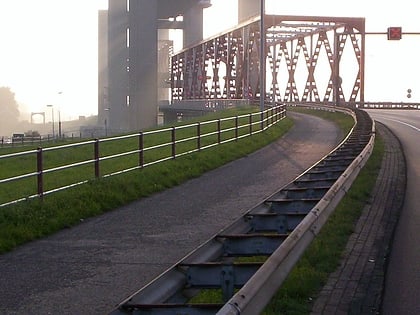
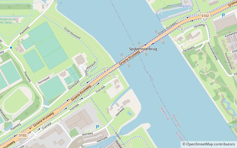
The Spijkenisserbrug is a road bridge over the Old Maas River between the Dutch towns of Hoogvliet and Spijkenisse. The provincial road N492 is located over this bridge.
Coordinates: 51°51'30"N, 4°20'18"E
Address
Groene KruiswegSpijkenisse
ContactAdd
Social media
Add
Day trips
Spijkenisserbrug – popular in the area (distance from the attraction)
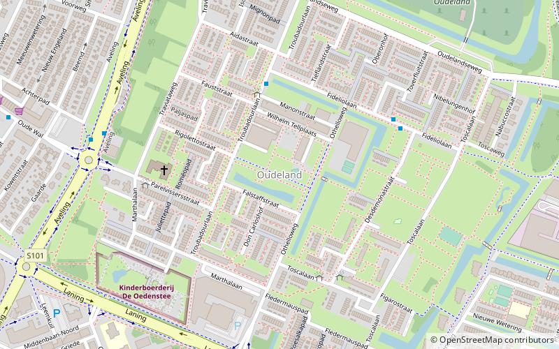
Nearby attractions include: Kinderboerderij De Oedenstee, Dorpskerk, Hartelkering, Oudeland.
Frequently Asked Questions (FAQ)
Which popular attractions are close to Spijkenisserbrug?
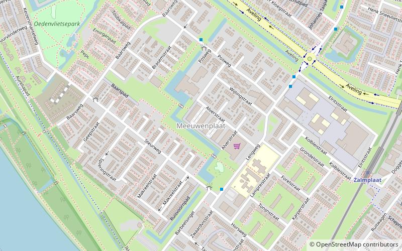
Nearby attractions include Meeuwenplaat, Spijkenisse (19 min walk), Dorpskerk, Spijkenisse (21 min walk).
How to get to Spijkenisserbrug by public transport?
The nearest stations to Spijkenisserbrug:
Bus
Metro
Bus
- De Vier Werelden • Lines: H (9 min walk)
- Wielrenpad • Lines: H (9 min walk)
Metro
- Spijkenisse Centrum • Lines: C, D (22 min walk)
- Zalmplaat • Lines: C, D (27 min walk)
