Nieuw Engeland, Spijkenisse
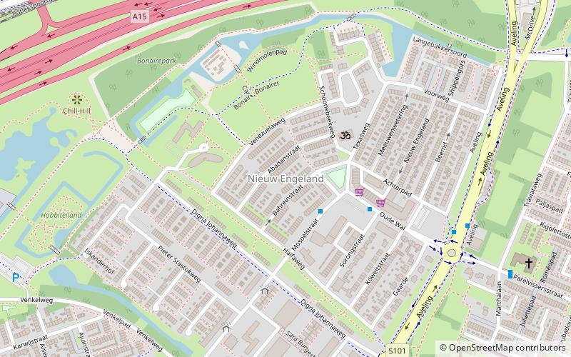
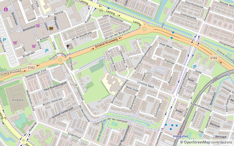
Map
Facts and practical information
Nieuw Engeland is a neighbourhood of Rotterdam, Netherlands. ()
Address
Hoogvliet (Hoogvliet-Noord)Spijkenisse
ContactAdd
Social media
Add
Getting there by public transportation
Public transportation stops near this location
- Metro
- Bus
 Metro
Metro
- Calculate routeOude Wal 5 min walk
- Calculate routePieter Stastokweg 5 min walk
- Calculate routeParelvissersstraat 8 min walk
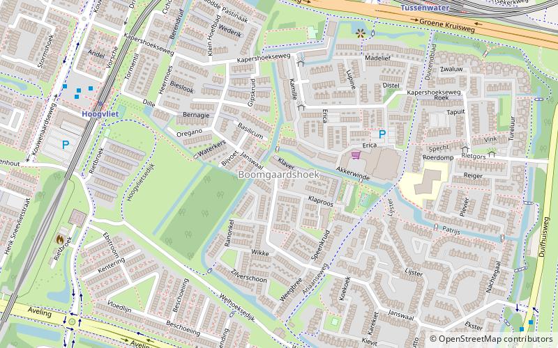
- Calculate routeHoogvliet 26 min walk
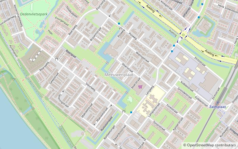
- Calculate routeZalmplaat 32 min walk
- Calculate routeTussenwater 33 min walk
Day trips


Frequently Asked Questions (FAQ)
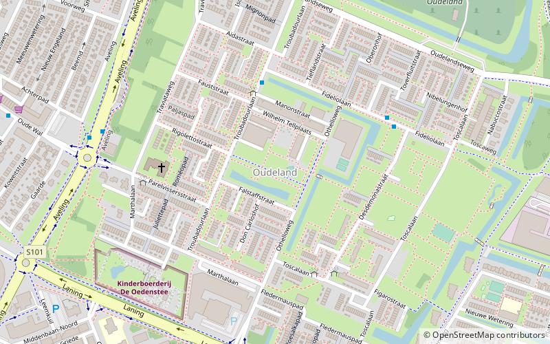
Which popular attractions are close to Nieuw Engeland?
Nearby attractions include Kinderboerderij De Oedenstee, Rotterdam (10 min walk), Oudeland, Spijkenisse (13 min walk), Middengebied, Spijkenisse (19 min walk).
How to get to Nieuw Engeland by public transport?
The nearest stations to Nieuw Engeland:
Bus
Metro
Bus
- Oude Wal • Lines: 61, 62, 825 (5 min walk)
- Pieter Stastokweg • Lines: 61, 62 (5 min walk)
Metro
- Hoogvliet • Lines: C, D (26 min walk)
- Zalmplaat • Lines: C, D (32 min walk)