Moerkuilen
Map

Map

Facts and practical information
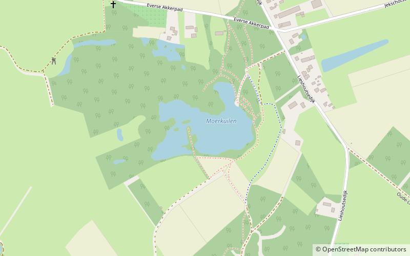
The Moerkuilen are, along with the Dommelbeemden a forestry area in a bend of the Dommel river north east of Nijnsel in Meierijstad. It is located at the Lieshoutse Dijk, not far from the A50 motorway. The protected area measures over 100 acres and connects with the Vresselse Bossen in the south. The Moerkuilen are part of the larger area Het Groene Woud. ()
Location
Noord-Brabant
ContactAdd
Social media
Add
Day trips
Moerkuilen – popular in the area (distance from the attraction)
Nearby attractions include: Kasteel Henkenshage, Croy Castle, Familiepark DippieDoe, BestZoo.


