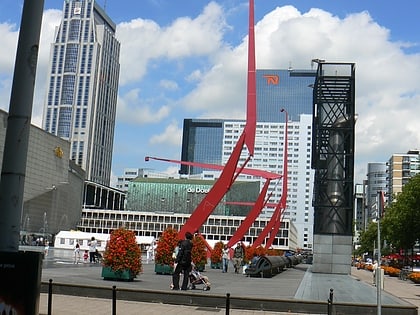
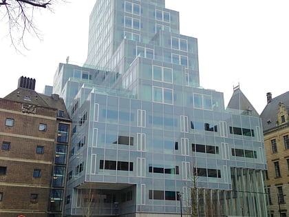
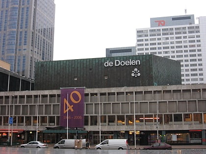
Cool, Rotterdam
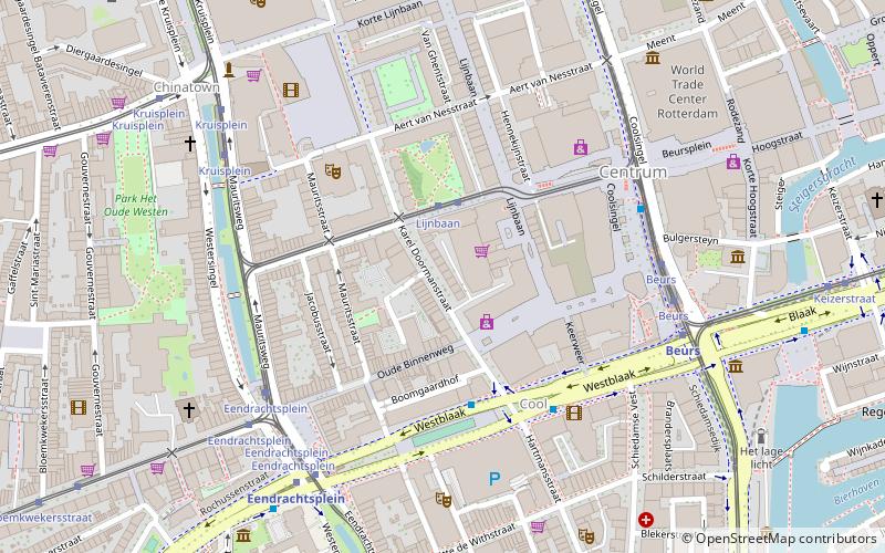
Map
Facts and practical information
Cool is a neighborhood of Rotterdam, Netherlands in the Centrum borough. It is enclosed by the Weena in the north, the Mauritsweg and Eendrachtsweg in the west, Vasteland in the south and the Coolsingel and Schiedamse Vest in the east. ()
Address
Stadscentrum (Cool)Rotterdam
ContactAdd
Social media
Add
Day trips
Cool – popular in the area (distance from the attraction)
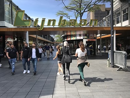
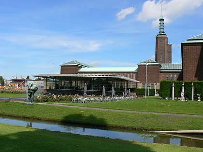
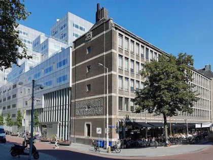
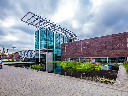
Nearby attractions include: Lijnbaan, Museum Boijmans Van Beuningen, Museum Rotterdam, Het Nieuwe Instituut.
Frequently Asked Questions (FAQ)
Which popular attractions are close to Cool?
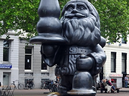
Nearby attractions include Rotterdam Centrum, Rotterdam (3 min walk), Santa Claus Sculpture, Rotterdam (5 min walk), Schouwburgplein, Rotterdam (5 min walk), Le Grande Musicienne, Rotterdam (5 min walk).
How to get to Cool by public transport?
The nearest stations to Cool:
Tram
Bus
Metro
Train
Ferry
Tram
- Lijnbaan • Lines: 20, 25, 8 (2 min walk)
- Eendrachtsplein • Lines: 4, 7 (5 min walk)
Bus
- Westblaak • Lines: 32 (4 min walk)
- Eendrachtsplein • Lines: 32 (7 min walk)
Metro
- Beurs • Lines: A, B, C, D, E (5 min walk)
- Eendrachtsplein • Lines: A, B, C (5 min walk)
Train
- Rotterdam Centraal (14 min walk)
Ferry
- Rotterdam, Erasmusbrug • Lines: 20, 201, 202 (19 min walk)
