Witte Kerk, Steenbergen
Map

Map

Facts and practical information
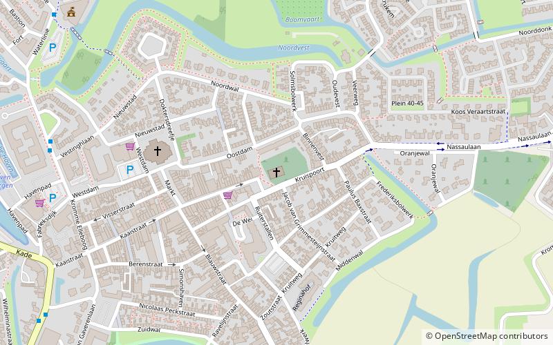
The church of the Protestant community in Steenbergen, better known as the White Church or Protestant Church, is a church building, a so-called water state church, in the Dutch town of Steenbergen.
Coordinates: 51°35'16"N, 4°19'18"E
Address
Steenbergen
ContactAdd
Social media
Add
Day trips
Witte Kerk – popular in the area (distance from the attraction)
Nearby attractions include: De Arend, Fort de Roovere, Zwembad De Stok, Assumburg.


