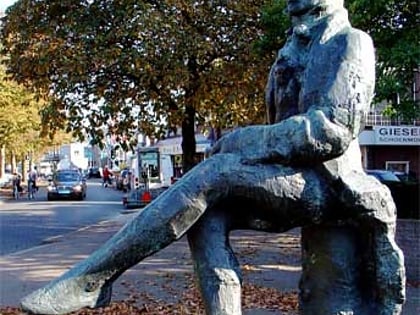
Kasteel Vorden, Vorden
Map
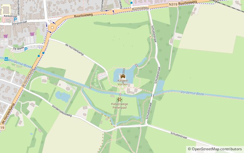
Map

Facts and practical information
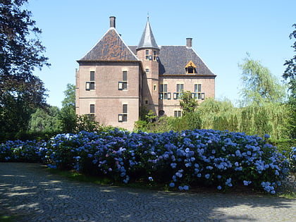
Kasteel Vorden is a castle and estate southeast of the village of the same name, Vorden, in the municipality of Bronckhorst, in the Dutch province of Gelderland.
Coordinates: 52°6'5"N, 6°19'21"E
Day trips
Kasteel Vorden – popular in the area (distance from the attraction)
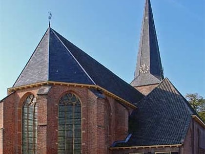
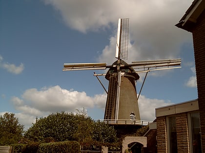
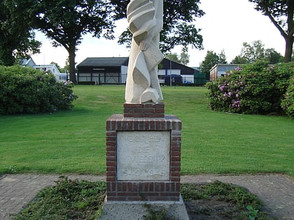
Nearby attractions include: Hervormde kerk Vorden, Hackforter Molen, Bevrijdingsmonument, Anthony Christiaan Winand Staring.
Frequently Asked Questions (FAQ)
Which popular attractions are close to Kasteel Vorden?
Nearby attractions include Bevrijdingsmonument, Vorden (7 min walk), Hervormde kerk Vorden, Vorden (11 min walk), Anthony Christiaan Winand Staring, Vorden (12 min walk), Hackforter Molen, Vorden (22 min walk).
