Gemeentehuis Oss, Oss
Map
Facts and practical information
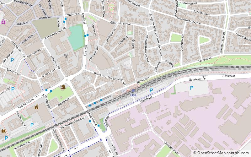
Gemeentehuis Oss (address: Raadhuislaan 2) is a place located in Oss (Noord-Brabant province) and belongs to the category of city hall.
It is situated at an altitude of 26 feet, and its geographical coordinates are 51°45'53"N latitude and 5°31'29"E longitude.
Planning a visit to this place, one can easily and conveniently get there by public transportation. Gemeentehuis Oss is a short distance from the following public transport stations: Raadhuislaan (bus, 2 min walk), Oss (train, 8 min walk).
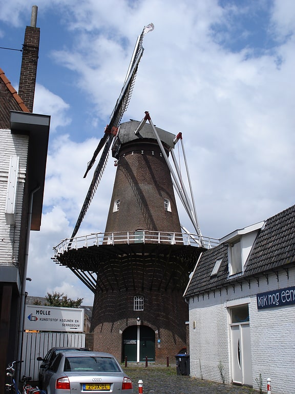
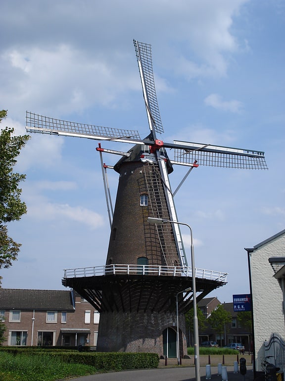
Among other places and attractions worth visiting in the area are: Museum Jan Cunen centrum (specialty museum, 3 min walk), Lievekamp (concerts and shows, 5 min walk), Zeldenrust (windmill, 6 min walk).
Coordinates: 51°45'53"N, 5°31'29"E
Getting there by public transportation
Public transportation stops near this location
- Bus
- Train
 Bus
Bus
- Calculate routeRaadhuislaan 2 min walk
- Calculate routeCentraal Station 5 min walk
- Calculate routeOss 8 min walk
- Calculate routeOss West 23 min walk
Day trips

Frequently Asked Questions (FAQ)
Which popular attractions are close to Gemeentehuis Oss?
Nearby attractions include Museum Jan Cunen centrum, Oss (3 min walk), Lievekamp, Oss (5 min walk), Zeldenrust, Oss (6 min walk), Peperstraat, Oss (9 min walk).
How to get to Gemeentehuis Oss by public transport?
The nearest stations to Gemeentehuis Oss:
Bus
Train
Bus
- Raadhuislaan • Lines: Blauw, Rood (2 min walk)
- Centraal Station (5 min walk)
Train
- Oss (8 min walk)
- Oss West (23 min walk)