Walls of Amsterdam, Amsterdam
Map
Gallery
Facts and practical information
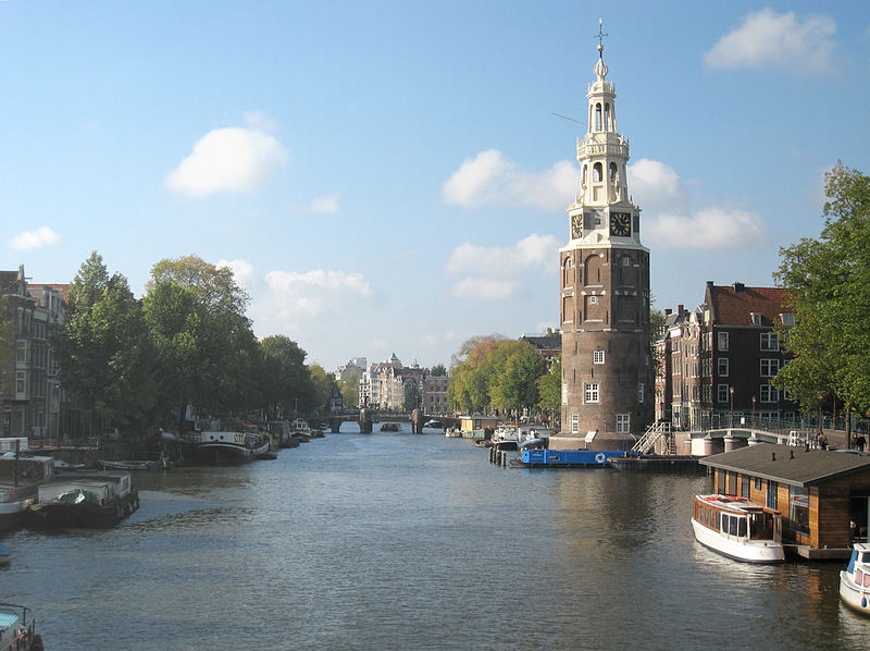
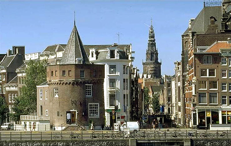
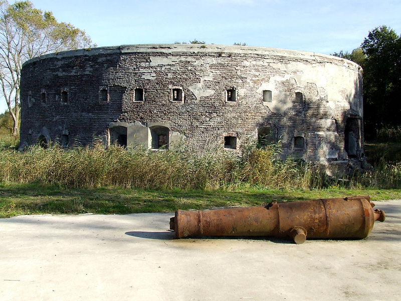
The walls of Amsterdam were built in the Middle Ages to protect the city against attack. The Medieval walls were replaced with a series of bastions in the 17th century. In the 19th century, the walls were torn down and replaced with the Defence Line of Amsterdam, a fortification line which encircled Amsterdam at a distance from the city. ()
Address
Prinsengracht 737Stadsdeel Centrum (Grachtengordel-Zuid)Amsterdam 1017 JX
Contact
+31 20 616 9597
Social media
Add
Day trips
Walls of Amsterdam – popular in the area (distance from the attraction)
Nearby attractions include: Melkweg, Huis Marseille, Amsterdam City Archives, Bijbels Museum.
Frequently Asked Questions (FAQ)
Which popular attractions are close to Walls of Amsterdam?
Nearby attractions include Amsterdam Pipe Museum, Amsterdam (1 min walk), Lambiek, Amsterdam (3 min walk), Kunsthandel Jacques Fijnaut B.V., Amsterdam (3 min walk), Leidseplein, Amsterdam (3 min walk).
How to get to Walls of Amsterdam by public transport?
The nearest stations to Walls of Amsterdam:
Tram
Bus
Metro
Train
Ferry
Tram
- Prinsengracht • Lines: 12, 2 (2 min walk)
- Keizersgracht • Lines: 12, 2 (3 min walk)
Bus
- Leidseplein • Lines: 397, N22, N26, N82, N83, N84, N86, N88 (7 min walk)
- Ruysdaelkade • Lines: N84 (8 min walk)
Metro
- Vijzelgracht • Lines: 52 (9 min walk)
- Rokin • Lines: 52 (14 min walk)
Train
- Amsterdam Central Station (31 min walk)
Ferry
- Centraal Station • Lines: F2 (33 min walk)



 Metro / Trams