Leidseplein, Amsterdam
Map
Gallery
Facts and practical information
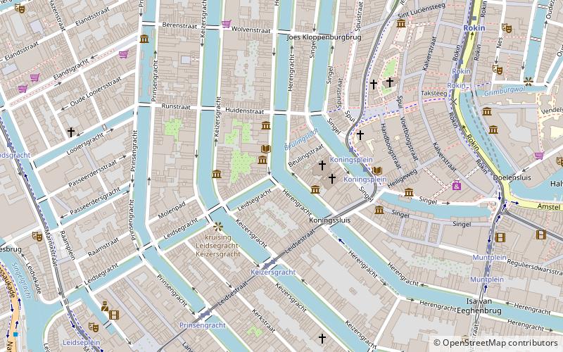
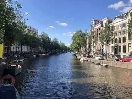
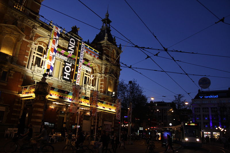
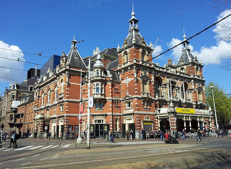
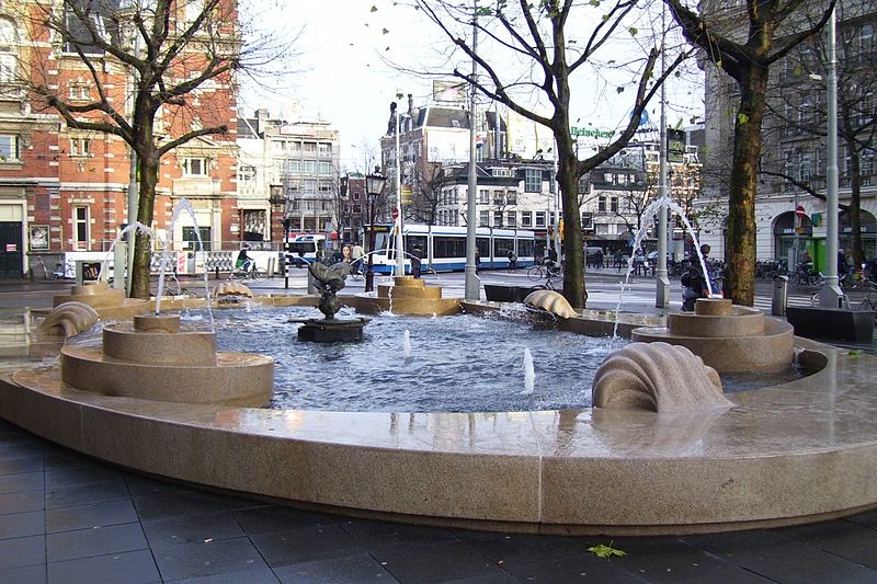
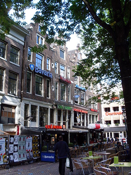
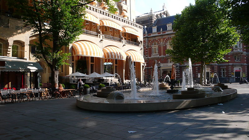
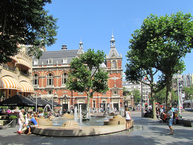
Leidseplein is a square in central Amsterdam, Netherlands. It lies in the Weteringschans neighborhood, immediately northeast of the Singelgracht. It is located on the crossroads of the Weteringschans, Marnixstraat and Leidsestraat. ()
Address
Leidsestraat 72 tm 74Stadsdeel Centrum (De Weteringschans)Amsterdam
ContactAdd
Social media
Add
Day trips
Leidseplein – popular in the area (distance from the attraction)
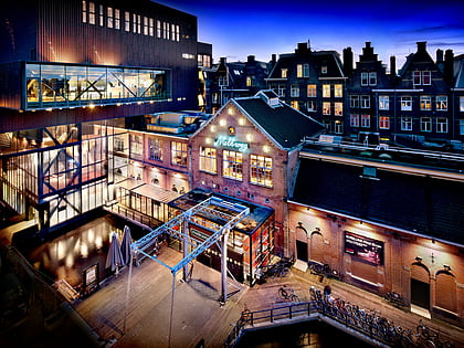
Nearby attractions include: Melkweg, Rijksmuseum, Huis Marseille, Bijbels Museum.
Frequently Asked Questions (FAQ)
Which popular attractions are close to Leidseplein?
Nearby attractions include Municipal Theatre, Amsterdam (2 min walk), Sugar Factory, Amsterdam (2 min walk), DeLaMar, Amsterdam (3 min walk), De Balie, Amsterdam (3 min walk).
How to get to Leidseplein by public transport?
The nearest stations to Leidseplein:
Tram
Bus
Metro
Train
Ferry
Tram
- Leidseplein, 19 • Lines: 1, 12, 19, 2, 5, 7 (2 min walk)
- Prinsengracht • Lines: 12, 2 (2 min walk)
Bus
- Leidseplein • Lines: 397, N22, N26, N82, N83, N84, N86, N88 (4 min walk)
- Ruysdaelkade • Lines: N84 (9 min walk)
Metro
- Vijzelgracht • Lines: 52 (12 min walk)
- Rokin • Lines: 52 (15 min walk)
Train
- Amsterdam Central Station (32 min walk)
Ferry
- Centraal Station • Lines: F2 (35 min walk)


 Metro / Trams