Regentessebrug, Rotterdam
Gallery (1)
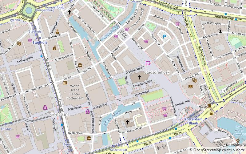
Map
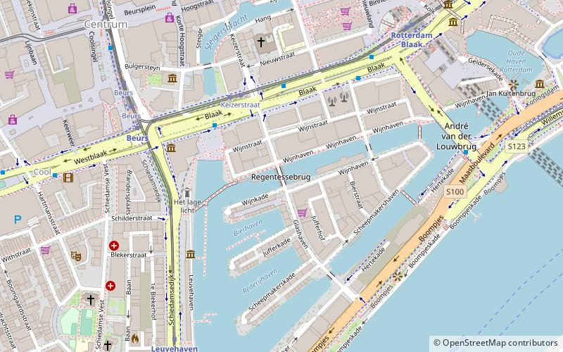
Map
Facts and practical information
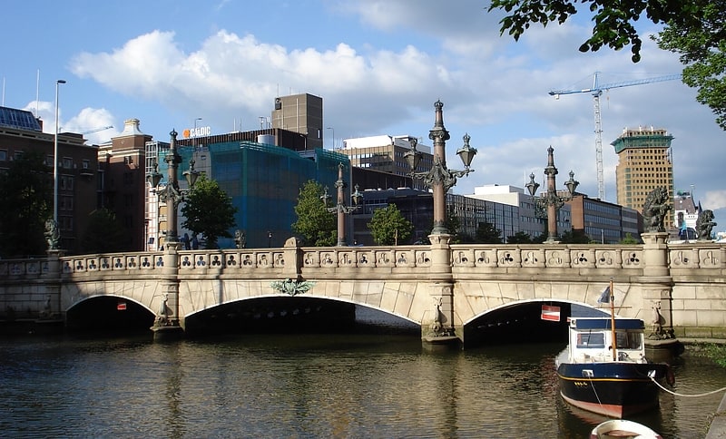
The Regentessebrug is a fixed bridge in the Dutch city of Rotterdam. The bridge connects the Posthoornstraat with the Glashaven over the Wijnhaven. Built in 1898 to replace a wooden lifting bridge, the Regentessebrug is one of the few pre-war structures to have survived the bombing on 14 May 1940. The bridge is also popularly known as the Four Lions Bridge and has been a National Monument since 1973.
Coordinates: 51°55'2"N, 4°29'7"E
Getting there by public transportation
Public transportation stops near this location
- Metro
- Bus
- Tram
- Train
- Ferry
 Metro
Metro
- Calculate routeKeizerstraat 3 min walk
- Calculate routeStation Blaak 5 min walk
- Calculate routeWillemswerf 7 min walk
- Calculate routeWestblaak 9 min walk
- Calculate routeKeizerstraat 4 min walk
- Calculate routeBeurs 6 min walk
- Calculate routeBlaak 7 min walk
- Calculate routeBeurs 7 min walk
- Calculate routeBlaak 7 min walk
- Calculate routeLeuvehaven 7 min walk
- Calculate routeRotterdam, Erasmusbrug 16 min walk
- Calculate routeRotterdam Centraal 23 min walk
- Calculate routeRotterdam Zuid 35 min walk
Day trips


Frequently Asked Questions (FAQ)
Which popular attractions are close to Regentessebrug?
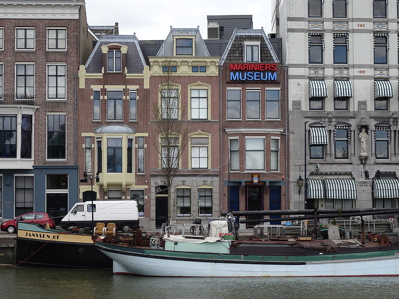
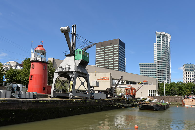
Nearby attractions include De Verwoeste Stad, Rotterdam (3 min walk), Low Light of the Hook of Holland, Rotterdam (4 min walk), Maritiem Museum, Rotterdam (4 min walk), Stadsdriehoek, Rotterdam (4 min walk).
How to get to Regentessebrug by public transport?
The nearest stations to Regentessebrug:
Bus
Tram
Metro
Ferry
Train
Bus
- Keizerstraat • Lines: 32 (3 min walk)
- Station Blaak • Lines: 32, 824 (5 min walk)
Tram
- Keizerstraat • Lines: 21, 24 (4 min walk)
- Beurs • Lines: 12, 20, 21, 23, 24, 25, 8 (6 min walk)
Metro
- Beurs • Lines: A, B, C, D, E (7 min walk)
- Blaak • Lines: A, B, C (7 min walk)
Ferry
- Rotterdam, Erasmusbrug • Lines: 20, 201, 202 (16 min walk)
Train
- Rotterdam Centraal (23 min walk)
- Rotterdam Zuid (35 min walk)