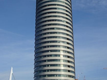
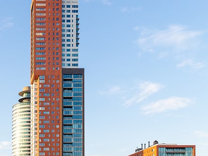
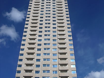
Kop van Zuid, Rotterdam
Map
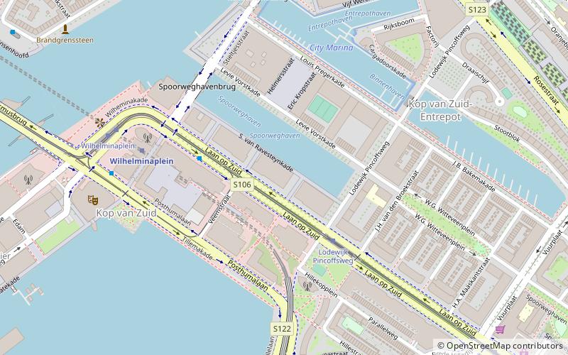
Map

Facts and practical information
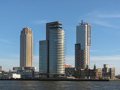
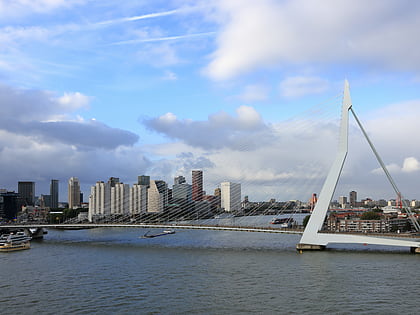
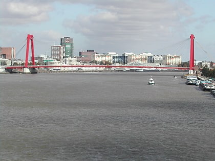
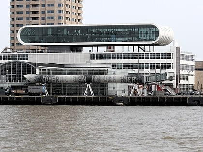
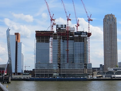
Kop van Zuid is a neighborhood of Rotterdam, The Netherlands, located on the south bank of the Nieuwe Maas opposite the center of town. The district is relatively young and includes the Wilhelmina Pier as well as the V bounded by the Rose Street and railway line on one side and the Rotterdam-Dordrecht Hilledijk, Hill Street and Rijnhaven on the other. ()
Address
Stadscentrum (Kop van Zuid)Rotterdam
ContactAdd
Social media
Add
Day trips
Kop van Zuid – popular in the area (distance from the attraction)
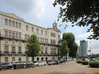
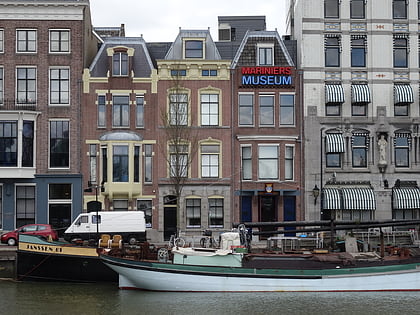
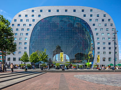
Nearby attractions include: Wereldmuseum, Marine Corps Museum, Market Hall, Erasmusbrug.
Frequently Asked Questions (FAQ)
Which popular attractions are close to Kop van Zuid?
Nearby attractions include Luxor Theater Rotterdam, Rotterdam (7 min walk), Villa Zebra, Rotterdam (8 min walk), De Rotterdam, Rotterdam (9 min walk), KPN Tower, Rotterdam (9 min walk).
How to get to Kop van Zuid by public transport?
The nearest stations to Kop van Zuid:
Tram
Metro
Bus
Train
Ferry
Tram
- Lodewijk Pincoffsweg • Lines: 12, 20, 23, 25 (3 min walk)
- Wilhelminaplein • Lines: 12, 20, 23, 25 (6 min walk)
Metro
- Wilhelminaplein • Lines: D, E (5 min walk)
- Rijnhaven • Lines: D, E (7 min walk)
Bus
- Rijnhaven • Lines: 77, 824 (7 min walk)
- Sleephellingstraat Zuid • Lines: 547 (9 min walk)
Train
- Rotterdam Zuid (15 min walk)
- Rotterdam Stadion (35 min walk)
Ferry
- Rotterdam, Erasmusbrug • Lines: 20, 201, 202 (17 min walk)
