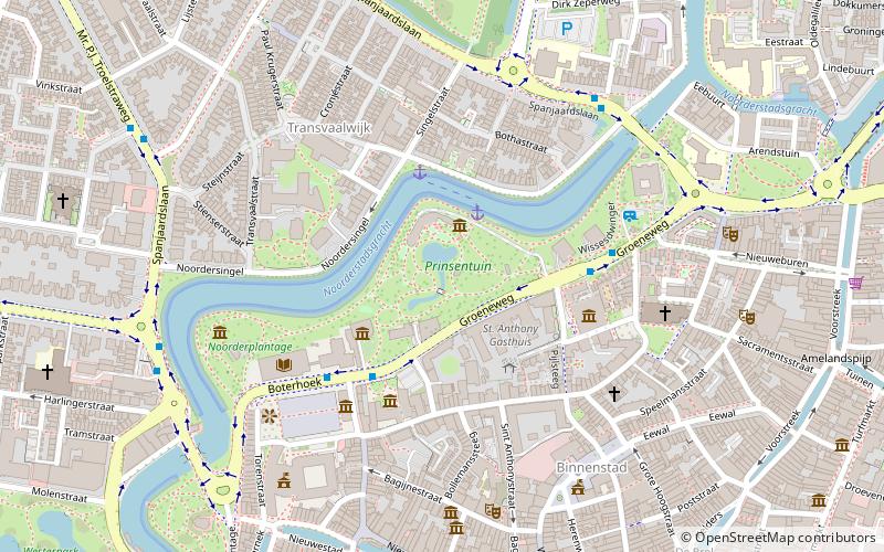
Prinsentuin, Leeuwarden
Map

Map

Facts and practical information
The Prinsentuin is a park on the north side of the city center of Leeuwarden, in the Dutch province of Friesland.
Elevation: 16 ft a.s.l.Coordinates: 53°12'17"N, 5°47'35"E
Address
Prinsentuin 1Leeuwarden
ContactAdd
Social media
Add
Day trips
Prinsentuin – popular in the area (distance from the attraction)
Nearby attractions include: Cambuur Stadion, Historisch Centrum, Grote of Jacobijnerkerk, Keramiekmuseum Princessehof.
Frequently Asked Questions (FAQ)
Which popular attractions are close to Prinsentuin?
Nearby attractions include Historisch Centrum, Leeuwarden (3 min walk), Natuurmuseum Fryslân, Leeuwarden (4 min walk), Keramiekmuseum Princessehof, Leeuwarden (4 min walk), Tresoar, Leeuwarden (4 min walk).
How to get to Prinsentuin by public transport?
The nearest stations to Prinsentuin:
Bus
Train
Bus
- Boterhoek • Lines: 6 (3 min walk)
- Wissesdwinger • Lines: 6, 612, 62, 655, 692, 695 (4 min walk)
Train
- Leeuwarden (15 min walk)


