Slauerhoffbrug, Leeuwarden
Map

Gallery

Facts and practical information
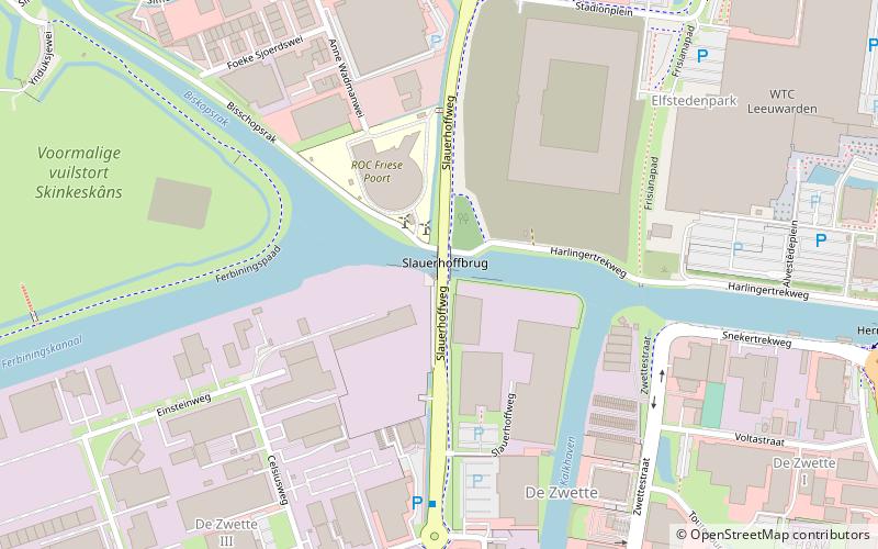
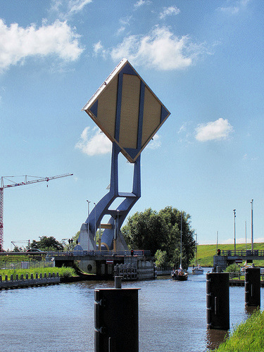
The Slauerhoffbrug is a fully automatic bascule bridge in the city of Leeuwarden in the Netherlands. It is a road bridge that carries the Slauerhoffweg over the Harlingervaart. It was completed in 2000. ()
Alternative names: Opened: 2000 (26 years ago)Length: 49 ftWidth: 49 ftCoordinates: 53°11'55"N, 5°45'57"E
Address
Leeuwarden
ContactAdd
Social media
Add
Day trips
Slauerhoffbrug – popular in the area (distance from the attraction)
Nearby attractions include: Historisch Centrum, Keramiekmuseum Princessehof, Oldehove Tower, Fries Museum.
Frequently Asked Questions (FAQ)
Which popular attractions are close to Slauerhoffbrug?
Nearby attractions include WTC Expo, Leeuwarden (9 min walk), Elfstedenhal, Leeuwarden (10 min walk).
How to get to Slauerhoffbrug by public transport?
The nearest stations to Slauerhoffbrug:
Bus
Train
Bus
- Schenkenschans • Lines: 70 (6 min walk)
- Slauerhoffweg • Lines: 70 (8 min walk)
Train
- Leeuwarden (29 min walk)


