Grebbeberg
Map

Map

Facts and practical information
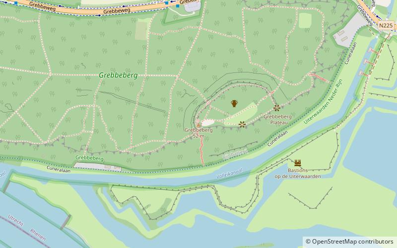
The Grebbeberg in Rhenen, in the Dutch province of Utrecht, is a 52-meter-high hill that forms the southeastern tip of the Utrechtse Heuvelrug, a lateral moraine. Due to its strategic location overlooking the Lower Rhine and the Betuwe, this hill is of great historical importance. In the 18th century the Grebbelinie was constructed from here. The hill is best known for the Battle of the Grebbeberg in May 1940. On the Grebbeberg is the Grebbeberg Field of Honour where Dutch soldiers are buried.
Location
Utrecht
ContactAdd
Social media
Add
Day trips
Grebbeberg – popular in the area (distance from the attraction)
Nearby attractions include: Ouwehands Dierenpark, World Soil Museum, Cunerakerk, Military War Cemetery Grebbeberg.


