Boezembrug, Rotterdam
Map
Map

Facts and practical information
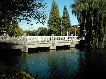
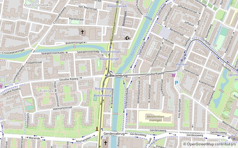
The Boezembrug is a bridge in Rotterdam, part of the Gouda Roadway. The Bosom bridge connects both banks of the Boezem. The bridge is a Rijksmonument designed by S. J. Rutgers in 1903. ()
Address
Kralingen-Crooswijk (Kralingen-West)Rotterdam
ContactAdd
Social media
Add
Day trips
Boezembrug – popular in the area (distance from the attraction)
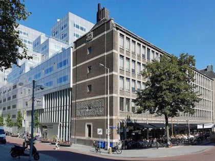
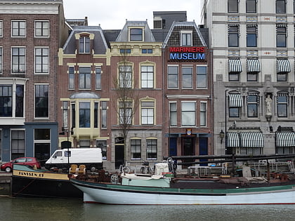
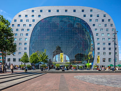
Nearby attractions include: Museum Rotterdam, Marine Corps Museum, Market Hall, Statue of Erasmus.
Frequently Asked Questions (FAQ)
Which popular attractions are close to Boezembrug?
Nearby attractions include Rubroek, Rotterdam (6 min walk), Crooswijk, Rotterdam (8 min walk), Kunstuitleen Rotterdam, Rotterdam (12 min walk), Kralingen, Rotterdam (13 min walk).
How to get to Boezembrug by public transport?
The nearest stations to Boezembrug:
Tram
Bus
Metro
Train
Tram
- Boezemsingel • Lines: 7 (2 min walk)
- Vlietlaan • Lines: 7 (6 min walk)
Bus
- Crooswijksestraat • Lines: 38 (8 min walk)
- Nieuwe Crooswijkseweg • Lines: 38 (10 min walk)
Metro
- Oostplein • Lines: A, B, C (10 min walk)
- Gerdesiaweg • Lines: A, B, C (11 min walk)
Train
- Rotterdam Noord (30 min walk)
