Ommoord, Rotterdam
Map
Map

Facts and practical information
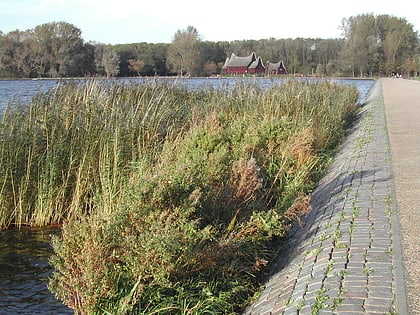
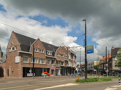
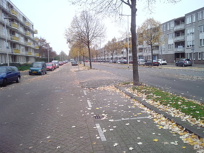
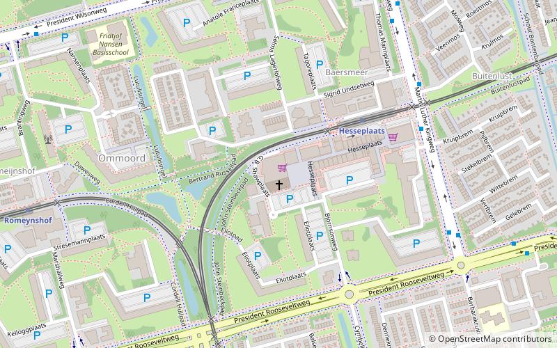
Ommoord is a neighbourhood in the borough Prins Alexander, part of the municipality of Rotterdam, South Holland, the Netherlands. Ommoord is surrounded by the neighbourhoods Zevenkamp, Het Lage Land and Terbregge. It has around 25.000 inhabitants across 12.500 households. ()
Address
Prins Alexander (Ommoord)Rotterdam
ContactAdd
Social media
Add
Day trips
Ommoord – popular in the area (distance from the attraction)
Nearby attractions include: Kralingse Plas, Stoom Stichting Nederland, Boterdorpse Verlaat, Capelle aan den IJssel.
Frequently Asked Questions (FAQ)
How to get to Ommoord by public transport?
The nearest stations to Ommoord:
Metro
Bus
Train
Metro
- Hesseplaats • Lines: B (4 min walk)
- Romeynshof • Lines: A (9 min walk)
Bus
- Hesseplaats • Lines: 35 (6 min walk)
- Barbarakruid • Lines: 35 (7 min walk)
Train
- Rotterdam Alexander (19 min walk)

