Indische Buurt, Amsterdam
Map
Gallery
Facts and practical information
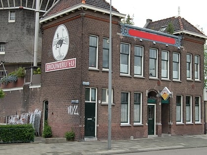
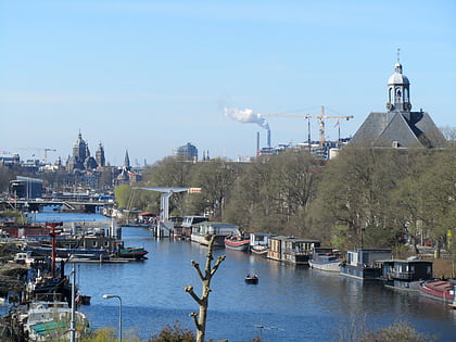
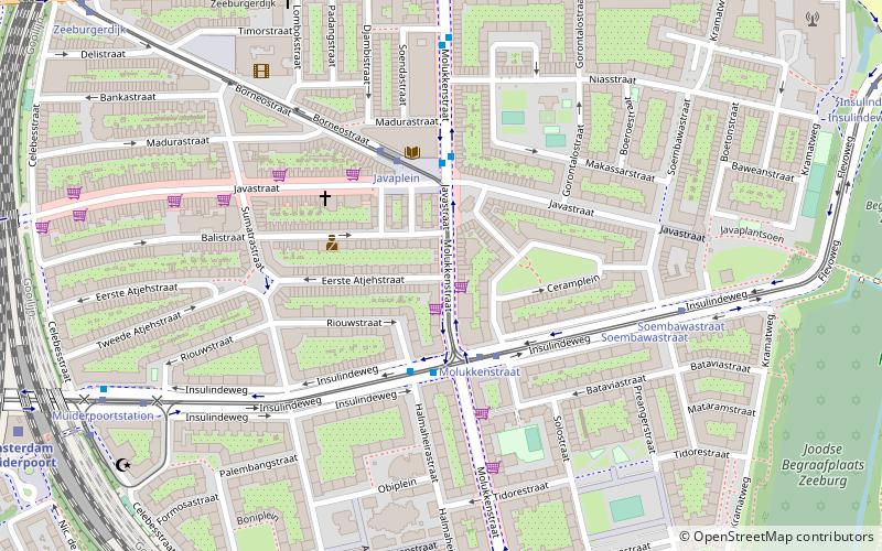
Indische Buurt is a neighborhood in the borough of Oost, the eastern part of the city of Amsterdam, Netherlands. The name of the neighborhood dates from the early 20th century, and is derived from the fact that the neighborhood's streets are named after islands and other geographical concepts in the former Dutch colony of the Dutch East Indies or now known as Indonesia. The first street was named in 1902. ()
Address
Zeeburg (Indische Buurt West)Amsterdam
ContactAdd
Social media
Add
Day trips
Indische Buurt – popular in the area (distance from the attraction)
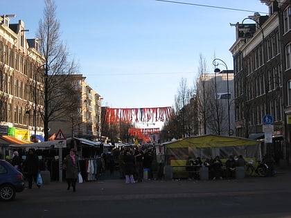
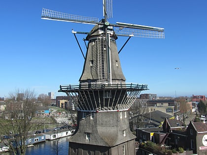
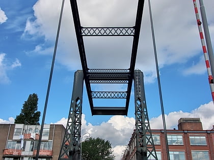
Nearby attractions include: Tropenmuseum, Dappermarkt, De Gooyer, Entrepotdoksluis.
Frequently Asked Questions (FAQ)
Which popular attractions are close to Indische Buurt?
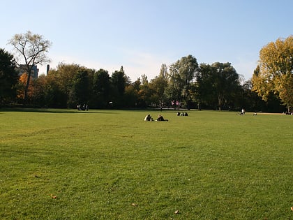
Nearby attractions include Flevopark, Amsterdam (12 min walk), Press Museum, Amsterdam (12 min walk), Cruquiuseiland, Amsterdam (12 min walk), Dapperbuurt, Amsterdam (13 min walk).
How to get to Indische Buurt by public transport?
The nearest stations to Indische Buurt:
Bus
Tram
Train
Metro
Bus
- Molukkenstraat • Lines: 22, 245, 37, 40, N89 (2 min walk)
- Javaplein • Lines: 22, 65, N89 (3 min walk)
Tram
- Molukkenstraat • Lines: 14, 3 (2 min walk)
- Javaplein • Lines: 14 (3 min walk)
Train
- Amsterdam Muiderpoort (10 min walk)
- Amsterdam Science Park (20 min walk)
Metro
- Wibautstraat • Lines: 51, 53, 54 (33 min walk)
- Amstelstation • Lines: 51, 53, 54 (37 min walk)

 Metro / Trams
