Kinkerbuurt, Amsterdam

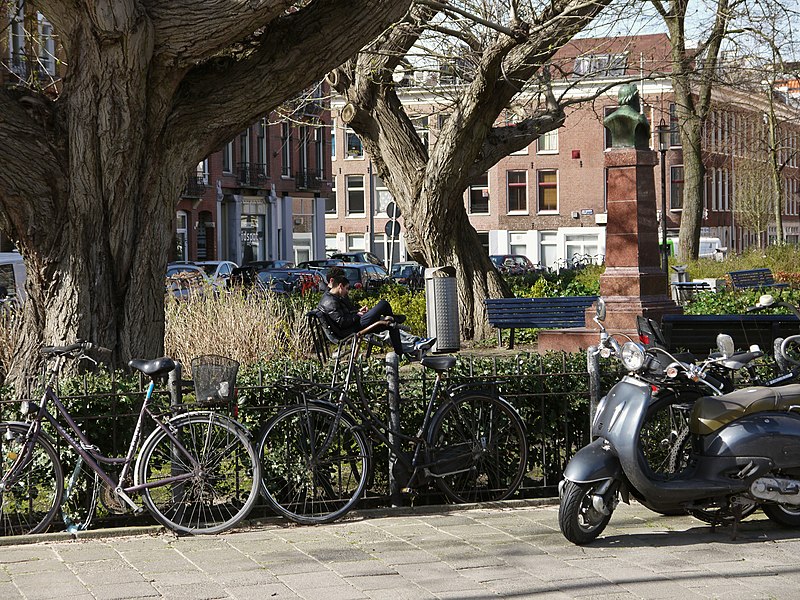
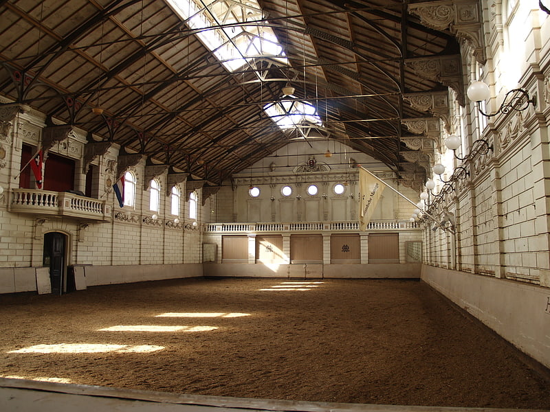
Gallery (3)
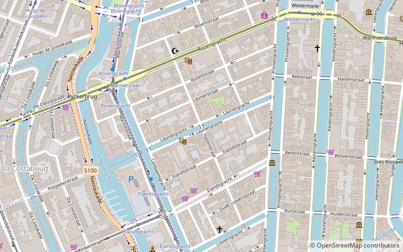
Map
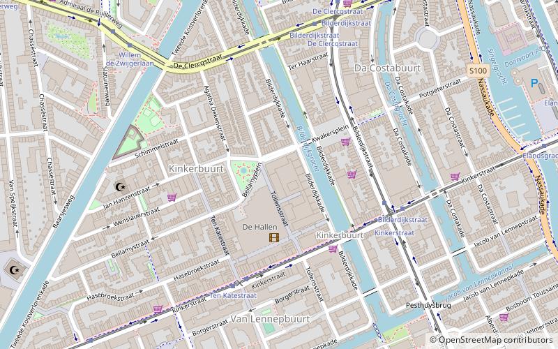
Map
Gallery
Facts and practical information
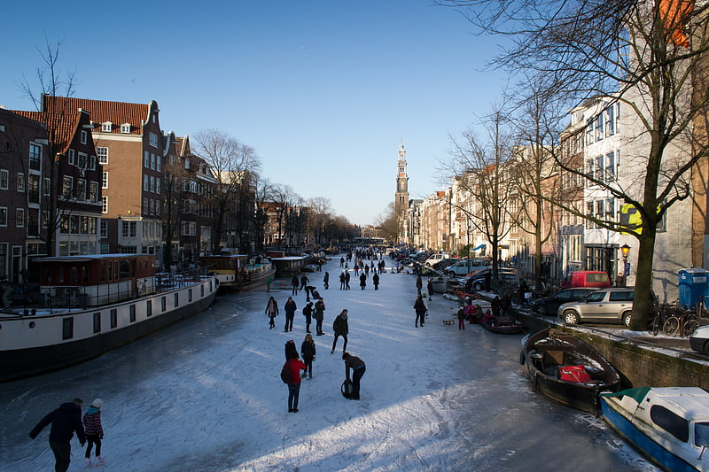
Kinkerbuurt is the neighborhood in Amsterdam, Netherlands. Along with the Overtoombuurt, it is part of the neighborhood of Oud-West in the borough of Amsterdam-West. It was built at the beginning of the twentieth century when Amsterdam was being expanded. Kinkerstraat, the area's main shopping street, was named after Dutch poet and lawyer Johannes Kinker. ()
Address
Stadsdeel West (Kinkerbuurt)Amsterdam
ContactAdd
Social media
Add
Getting there by public transportation
Public transportation stops near this location
- Metro
- Bus
- Tram
 Metro
Metro
- Calculate routeBilderdijkstraat 5 min walk
- Calculate routeTen Katestraat 4 min walk
- Calculate routeKinkerstraat 4 min walk
- Calculate routeBilderdijkstraat 4 min walk
- Calculate routeTen Katestraat 4 min walk
- Calculate routeKinkerstraat 5 min walk
- Calculate routeJan Pieter Heijestraat 9 min walk
- Calculate routeRokin 27 min walk
- Calculate routeVijzelgracht 28 min walk
- Calculate routeDe Pijp 35 min walk
Maps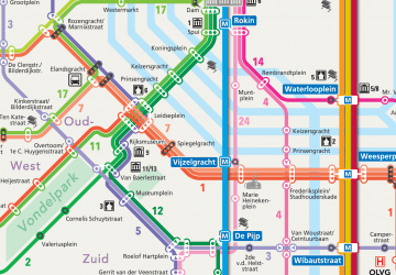 Metro / Trams
Metro / TramsDay trips


Frequently Asked Questions (FAQ)
Which popular attractions are close to Kinkerbuurt?
Nearby attractions include De Clercqstraat, Amsterdam (5 min walk), Grachtengordel, Amsterdam (5 min walk), El Tawheed Mosque, Amsterdam (6 min walk), Amsterdam Oud-West, Amsterdam (7 min walk).
How to get to Kinkerbuurt by public transport?
The nearest stations to Kinkerbuurt:
Tram
Bus
Metro
Tram
- Bilderdijkstraat • Lines: 17, 19, 7 (5 min walk)
- Ten Katestraat • Lines: 17, 7 (4 min walk)
Bus
- Bilderdijkstraat • Lines: N83 (4 min walk)
- Ten Katestraat • Lines: N83 (4 min walk)
Metro
- Rokin • Lines: 52 (27 min walk)
- Vijzelgracht • Lines: 52 (28 min walk)