Feijenoord district, Rotterdam
Map

Gallery

Facts and practical information
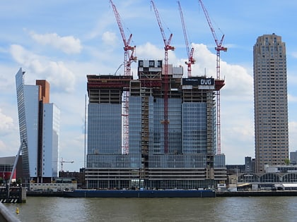
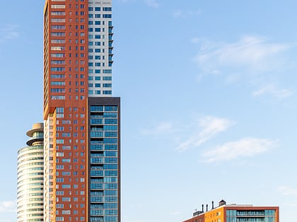
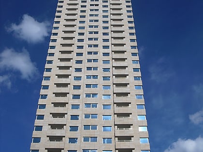
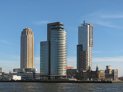
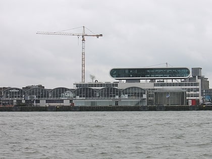
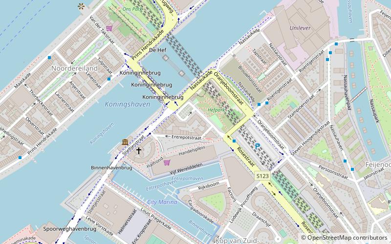
Feijenoord, not to be confused with the Feijenoord neighbourhood, is a district in Rotterdam and is located south of the Nieuwe Maas. As of 1 January 2004 there were 72,320 inhabitants. The area is 6.44 km². It is not the current home of the city's main football club, Feyenoord, which is now in the neighbouring township of IJsselmonde. ()
Day trips
Feijenoord district – popular in the area (distance from the attraction)
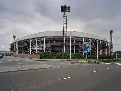
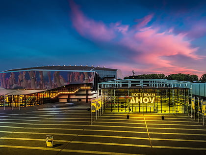
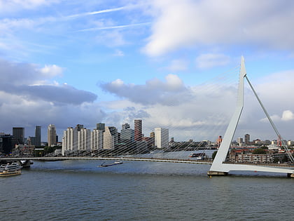
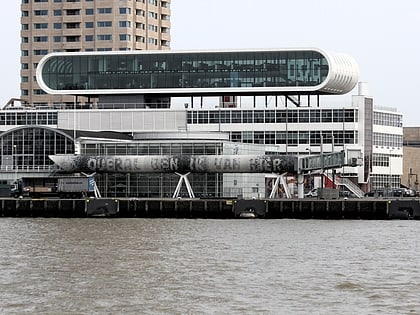
Nearby attractions include: De Kuip, Rotterdam Ahoy, Erasmusbrug, Nederlands Fotomuseum.
Frequently Asked Questions (FAQ)
Which popular attractions are close to Feijenoord district?
Nearby attractions include Feijenoord, Rotterdam (2 min walk), Hillesluis, Rotterdam (6 min walk), De Veranda, Rotterdam (8 min walk), Kiefhoek, Rotterdam (10 min walk).
How to get to Feijenoord district by public transport?
The nearest stations to Feijenoord district:
Tram
Bus
Train
Metro
Tram
- Beijerlandselaan • Lines: 20, 25 (4 min walk)
- Randweg • Lines: 2, 20, 25 (7 min walk)
Bus
- Polderlaan • Lines: 66, 77 (6 min walk)
- Randweg • Lines: 77 (7 min walk)
Train
- Rotterdam Stadion (8 min walk)
- Rotterdam Zuid (17 min walk)
Metro
- Maashaven • Lines: D, E (22 min walk)
- Rijnhaven • Lines: D, E (23 min walk)

