Geuzenveld-Slotermeer, Amsterdam
Map
Facts and practical information
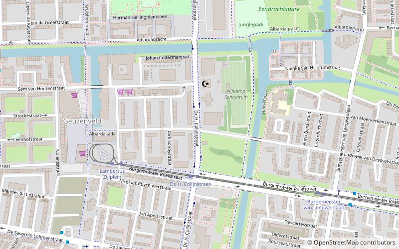
Geuzenveld-Slotermeer is a neighborhood and former borough comprising some of the most western parts of the city of Amsterdam, Netherlands. As a borough it existed from 1990 till 2010, when it merged with the boroughs Osdorp and Slotervaart to form the new borough Amsterdam Nieuw-West. ()
Address
Stadsdeel Nieuw-West (Geuzenveld)Amsterdam
ContactAdd
Social media
Add
Getting there by public transportation
Public transportation stops near this location
- Metro
- Bus
- Tram
 Metro
Metro
- Calculate routeDr. H. Colijnstraat 3 min walk
- Calculate routeLambertus Zijlplein 5 min walk
- Calculate routeBurgemeester van Leeuwenlaan 7 min walk
- Calculate routeSlotermeerlaan 13 min walk
- Calculate routeDr. H. Colijnstraat 8 min walk
- Calculate routeTroelstralaan 8 min walk
- Calculate routeJacob Cabeliaustraat 8 min walk
- Calculate routePostjesweg 39 min walk
Maps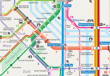 Metro / Trams
Metro / TramsDay trips


Frequently Asked Questions (FAQ)
Which popular attractions are close to Geuzenveld-Slotermeer?
Nearby attractions include Geuzenveld, Amsterdam (6 min walk), De 1200 Roe, Amsterdam (14 min walk), Slotermeer, Amsterdam (17 min walk), Westelijke Tuinsteden, Amsterdam (20 min walk).
How to get to Geuzenveld-Slotermeer by public transport?
The nearest stations to Geuzenveld-Slotermeer:
Tram
Bus
Metro
Tram
- Dr. H. Colijnstraat • Lines: 13 (3 min walk)
- Lambertus Zijlplein • Lines: 13 (5 min walk)
Bus
- Dr. H. Colijnstraat • Lines: 21, 61, N82 (8 min walk)
- Troelstralaan • Lines: 61 (8 min walk)
Metro
- Postjesweg • Lines: 50, 51 (39 min walk)