Westelijke Tuinsteden, Amsterdam
Map
Facts and practical information
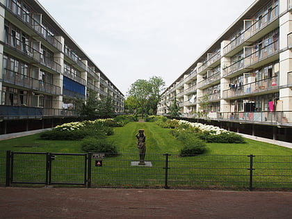
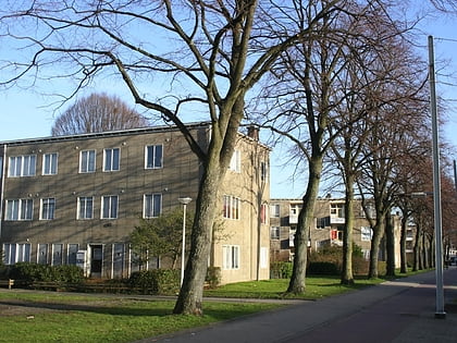
Westelijke Tuinsteden is a neighborhood of Amsterdam, Netherlands. It consists of six neighbourhoods with their own spatial and functional structure: Bos en Lommer, Slotermeer, Geuzenveld, Slotervaart, Overtoomseveld and Osdorp. Since 2010 these districts, with the exception of Bos en Lommer, form part of the Nieuw-West borough. ()
Address
Stadsdeel Nieuw-West (Slotermeer-Zuidwest)Amsterdam
ContactAdd
Social media
Add
Day trips
Westelijke Tuinsteden – popular in the area (distance from the attraction)
Nearby attractions include: Rembrandtpark, Klimhal Amsterdam, Mountain Network Amsterdam, Golfclub Ookmeer.
Frequently Asked Questions (FAQ)
Which popular attractions are close to Westelijke Tuinsteden?
Nearby attractions include Slotermeer, Amsterdam (12 min walk), Oostoever, Amsterdam (14 min walk), Geuzenveld-Slotermeer, Amsterdam (20 min walk), Amsterdam Nieuw-West, Amsterdam (21 min walk).
How to get to Westelijke Tuinsteden by public transport?
The nearest stations to Westelijke Tuinsteden:
Tram
Bus
Metro
Tram
- Sloterpark • Lines: 7 (4 min walk)
- Slotermeerlaan • Lines: 13 (7 min walk)
Bus
- Slotermeerlaan • Lines: N82 (8 min walk)
- Confuciusplein • Lines: N82 (12 min walk)
Metro
- Jan van Galenstraat • Lines: 50, 51 (16 min walk)
- Postjesweg • Lines: 50, 51 (19 min walk)
 Metro / Trams