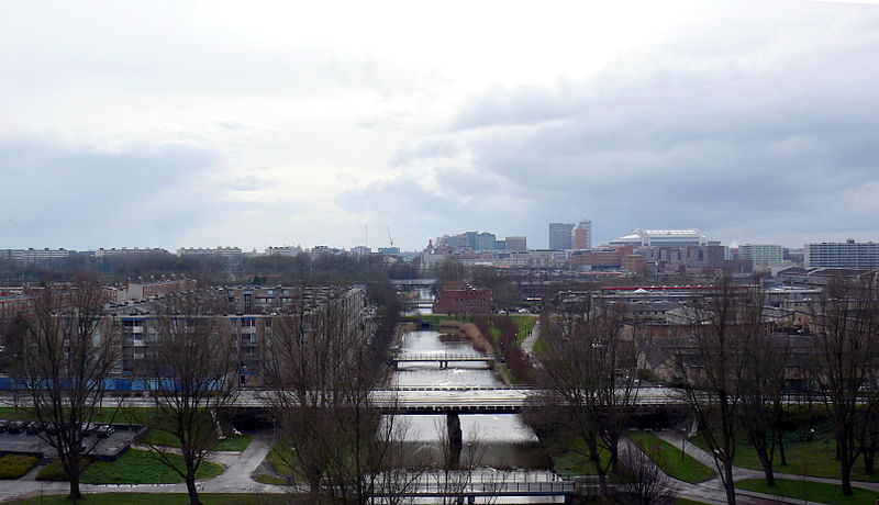
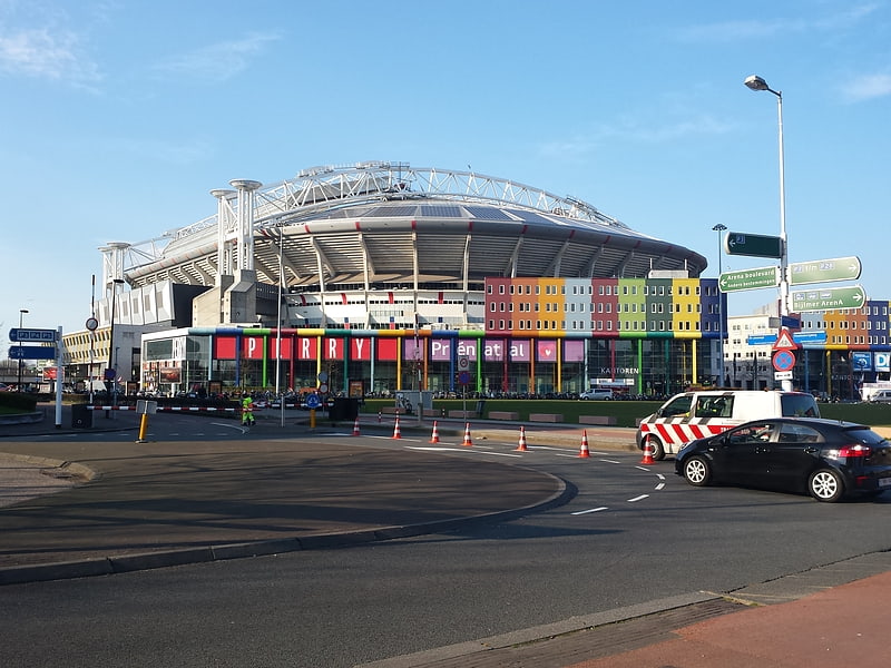
Bijlmermeer, Amsterdam

Gallery (3)
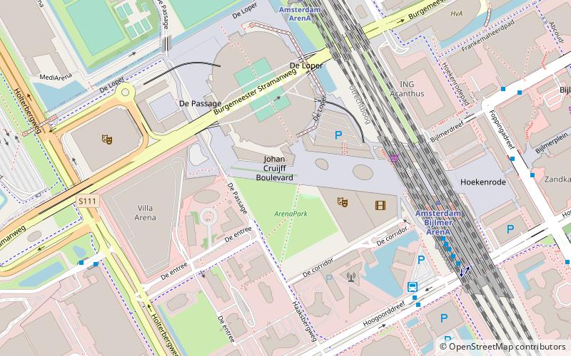
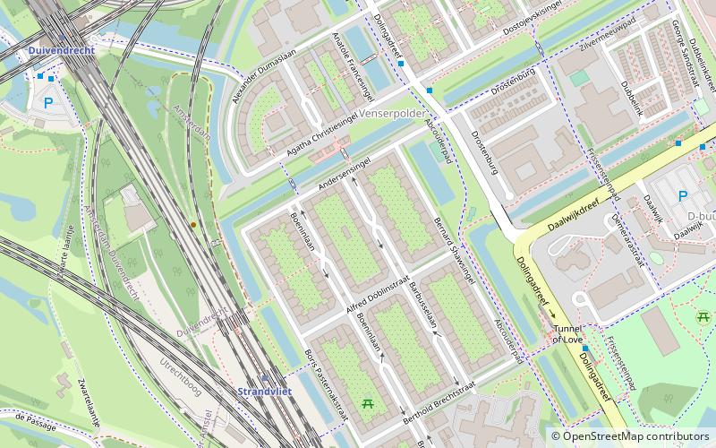
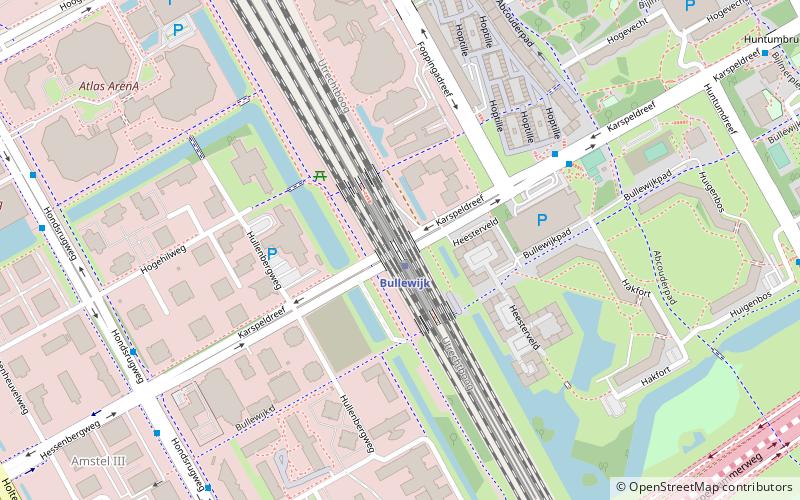
Map
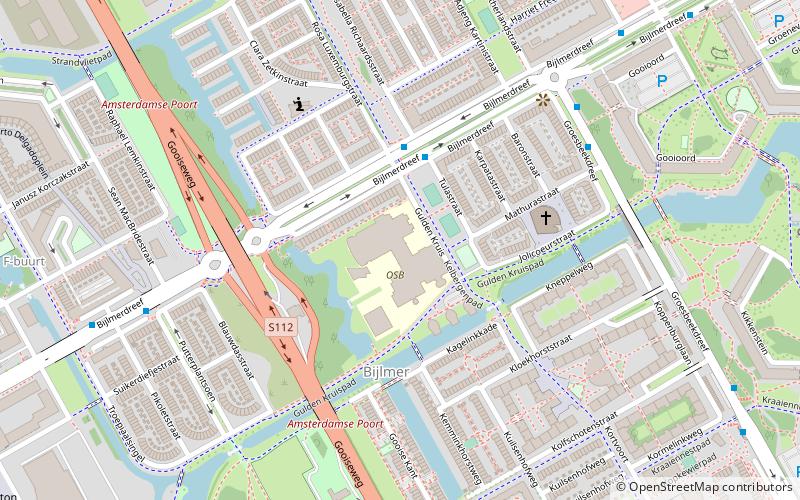
Map
Gallery
Facts and practical information
The Bijlmermeer, or colloquially Bijlmer, is one of the neighbourhoods that form the Amsterdam-Zuidoost borough of Amsterdam, Netherlands. To many people, the Bijlmer designation is used to refer to Amsterdam Zuidoost as a pars pro toto. The other neighbourhoods in Amsterdam Zuidoost are Gaasperdam, Bullewijk, Venserpolder and Driemond. ()
Address
Zuidoost (Bijlmer-Oost)Amsterdam
ContactAdd
Social media
Add
Getting there by public transportation
Public transportation stops near this location
- Metro
- Bus
- Train
 Metro
Metro
- Calculate routeTulastraat 3 min walk
- Calculate routeGooioord 6 min walk
- Calculate routeFlorijn 7 min walk
- Calculate routeAnnie Romeinplein 8 min walk
- Calculate routeGanzenhoef 13 min walk
- Calculate routeKraaiennest 16 min walk
- Calculate routeVerrijn Stuartweg 18 min walk
- Calculate routeBijlmer ArenA 23 min walk
- Calculate routeAmsterdam ArenA 25 min walk
Maps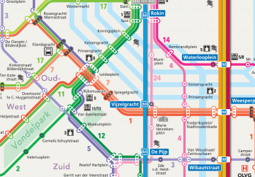 Metro / Trams
Metro / TramsDay trips


Frequently Asked Questions (FAQ)
Which popular attractions are close to Bijlmermeer?
Nearby attractions include Amsterdam-Zuidoost, Amsterdam (17 min walk), Venserpolder, Amsterdam (24 min walk).
How to get to Bijlmermeer by public transport?
The nearest stations to Bijlmermeer:
Bus
Metro
Train
Bus
- Tulastraat • Lines: 41, 47, 66, N87 (3 min walk)
- Gooioord • Lines: 47, N87 (6 min walk)
Metro
- Ganzenhoef • Lines: 53 (13 min walk)
- Kraaiennest • Lines: 53 (16 min walk)
Train
- Amsterdam ArenA (25 min walk)